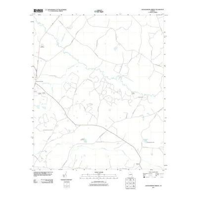
2011 Map of Jacksonboro Bridge
USGS Topo · Published 2011About this map
Brier Creek and Beaverdam Creek wind through this Screven County landscape, defining a region where water and wood have long shaped local life. Near the site of the Jacksonboro Bridge, the map reveals a network of rural landings such as Jacobsons Landing and Kittles Landing, which speak to the historic reliance on river transport before modern infrastructure took hold. The terrain is dotted with small-scale water management features including Lariscy Lake Dam and Boddiford Pond Dam.
Find a feature on this map
39 named features on this map. Tap any name to fly to it.
Don’t see what you’re looking for? This feature index may not catch every label — zoom into the map to look around manually.
Map Details
Editions of this 2011 Jacksonboro Bridge Map
This is the sole edition of this map. No revisions or reprints were ever made.
Other maps of this area

1918 · Oliver
USGS Topo · 1:62,500

1919 · Shirley
USGS Topo · 1:62,500

1920 · Hilltonia
USGS Topo · 1:62,500

1920 · Oliver
USGS Topo · 1:62,500

1920 · Peeples
USGS Topo · 1:62,500

1943 · Hilltonia
USGS Topo · 1:62,500

1943 · Peeples
USGS Topo · 1:62,500

1943 · Shirley
USGS Topo · 1:62,500

1943 · Millen
USGS Topo · 1:125,000

1943 · Oliver
USGS Topo · 1:62,500