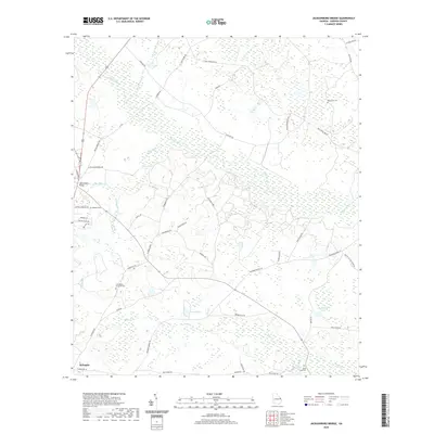
2020 Map of Jacksonboro Bridge
USGS Topo · Published 2020About this map
The city of Sylvania serves as the focal point for this landscape, where the agricultural plains meet a complex network of wetlands and creeks. The hydrology of the region is defined by the winding course of Brier Creek and its many tributaries, including Beaverdam Creek and Buck Cr. Local family names and community history are etched into the map through numerous cemeteries such as Friendship Memorial Cem, Reddick Cem, and Buck Creek Cem, which sit alongside historic crossings like Jacksonboro Bridge. This 2020 survey reveals a rural infrastructure reliant on an intricate system of local roads, such as Brannens Bridge Rd and Tuckahoe Rd, that navigate the low-lying terrain near Blue Springs and Lariscy Lake. The geography illustrates a late-modern transition in Screven County, where traditional land use and drainage patterns persist in a landscape increasingly organized by residential developments and named tracks.
Find a feature on this map
51 named features on this map. Tap any name to fly to it.
Don’t see what you’re looking for? This feature index may not catch every label — zoom into the map to look around manually.
Map Details
Editions of this 2020 Jacksonboro Bridge Map
This is the sole edition of this map. No revisions or reprints were ever made.
Other maps of this area

1918 · Oliver
USGS Topo · 1:62,500

1919 · Shirley
USGS Topo · 1:62,500

1920 · Hilltonia
USGS Topo · 1:62,500

1920 · Oliver
USGS Topo · 1:62,500

1920 · Peeples
USGS Topo · 1:62,500

1943 · Hilltonia
USGS Topo · 1:62,500

1943 · Peeples
USGS Topo · 1:62,500

1943 · Shirley
USGS Topo · 1:62,500

1943 · Millen
USGS Topo · 1:125,000

1943 · Oliver
USGS Topo · 1:62,500