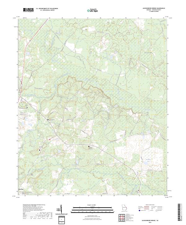
2024 Map of Jacksonboro Bridge
USGS Topo · Published 2024About this map
Brier Creek and its surrounding wetlands dominate this Screven County landscape, winding through a complex network of backroads and small rural communities. The map serves as a vital record for genealogists, documenting numerous family and congregational burial grounds including Reddick Cem, Oak Grove Cem, and Buck Creek Cem. The settlement of Sylvania occupies the southwestern corner, showing the transition from town streets to the outlying agricultural and timber lands.
Find a feature on this map
54 named features on this map. Tap any name to fly to it.
Don’t see what you’re looking for? This feature index may not catch every label — zoom into the map to look around manually.
Map Details
Editions of this 2024 Jacksonboro Bridge Map
This is the sole edition of this map. No revisions or reprints were ever made.
Other maps of this area

1918 · Oliver
USGS Topo · 1:62,500

1919 · Shirley
USGS Topo · 1:62,500

1920 · Hilltonia
USGS Topo · 1:62,500

1920 · Oliver
USGS Topo · 1:62,500

1920 · Peeples
USGS Topo · 1:62,500

1943 · Hilltonia
USGS Topo · 1:62,500

1943 · Peeples
USGS Topo · 1:62,500

1943 · Shirley
USGS Topo · 1:62,500

1943 · Millen
USGS Topo · 1:125,000

1943 · Oliver
USGS Topo · 1:62,500