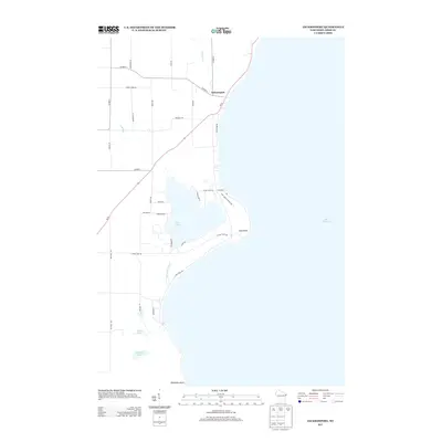
2013 Map of Jacksonport
USGS Topo · Published 2013About this map
Jacksonport sits prominently on the shoreline of Lake Michigan in this Door County survey, where the terrestrial landscape meets the bay. The map documents a transition from the structured street grid of the village to the expansive waters of Clark Lake, which is separated from the Great Lake by a narrow strip of land. This coastal geography is further defined by prominent landforms such as Cave Point and Whitefish Point, marking the irregular eastern edge of the peninsula. Drainage networks including Hibbard Cr and Whitefish Bay Cr reveal the natural flow toward the lake, while inland water bodies like Arbter Lake and Schwartz Lake add to the local hydrology. The road network, including Wi-57 and numerous local routes like Loritz Rd and Glidden Dr, traces the development patterns and residential pockets that characterize the region's contemporary layout.
Find a feature on this map
37 named features on this map. Tap any name to fly to it.
Don’t see what you’re looking for? This feature index may not catch every label — zoom into the map to look around manually.
Map Details
Editions of this 2013 Jacksonport Map
This is the sole edition of this map. No revisions or reprints were ever made.
Other maps of this area

1954 · Escanaba
USGS Topo · 1:250,000

1954 · Manitowoc
USGS Topo · 1:250,000

1957 · Escanaba
USGS Topo · 1:250,000

1958 · Escanaba
USGS Topo · 1:250,000

1958 · Manitowoc
USGS Topo · 1:250,000

1960 · Sturgeon Bay
USGS Topo · 1:62,500

1960 · Jacksonport
USGS Topo · 1:62,500

1960 · Sister Bay
USGS Topo · 1:62,500

1961 · Chambers Island
USGS Topo · 1:62,500

1981 · Institute
USGS Topo · 1:24,000