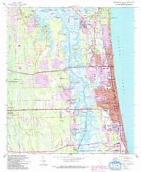
1964 Map of Jacksonville Beach
USGS Topo · Published 1992About this map
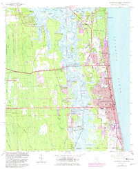
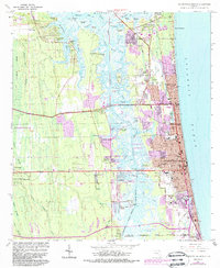
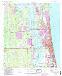
Mayport Naval Station and the sprawling marshlands of the Intracoastal Waterway dominate this coastal landscape, captured just as the eastern expansion of Jacksonville met the burgeoning beach communities. The survey details the transition from the tidal creeks of the Timucuan National Ecological and Historic Preserve to the dense residential grids of Atlantic Beach, Neptune Beach, and Jacksonville Beach. Local genealogy is well-represented through several family and community burial grounds, including Tillotson Cem and Rain Cem, alongside landmarks like Fletcher High Sch and the City Hall. The map illustrates the complex hydrology of the barrier islands, where Pablo Creek and the Jacksonville Beach Wildlife Refuge buffer the urban development from the open Atlantic Ocean.
Find a feature on this map
91 named features on this map. Tap any name to fly to it.
Don’t see what you’re looking for? This feature index may not catch every label — zoom into the map to look around manually.
Map Details
Editions of this 1964 Jacksonville Beach Map
7 editions found
Other maps of this area

1917 · Orange Park
USGS Topo · 1:62,500

1918 · Jacksonville
USGS Topo · 1:62,500

1918 · Orange Park
USGS Topo · 1:62,500

1918 · Palm Valley
USGS Topo · 1:62,500

1918 · Mayport
USGS Topo · 1:62,500

1948 · Jacksonville
USGS Topo · 1:250,000

1948 · Jacksonville Beach
USGS Topo · 1:24,000

1948 · Eastport
USGS Topo · 1:24,000

1949 · Jacksonville Beach
USGS Topo · 1:24,000

1950 · Arlington
USGS Topo · 1:24,000