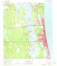
1964 Map of Jacksonville Beach
USGS Topo · Published 1972About this map
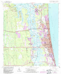
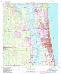
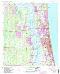
Mayport Naval Station dominates the northern shoreline of this coastal landscape, situated where the Intracoastal Waterway and Pablo Creek meet the tidal marshes. The map documents the rapid suburban expansion into the lowlands, with residential developments like Isle of Palms and Holiday Harbor carved into the wetlands. This era shows a clear distinction between the established coastal strip of Jacksonville Beach, Neptune Beach, and Atlantic Beach, and the older inland points like Sans Pareil and San Pablo.
Find a feature on this map
97 named features on this map. Tap any name to fly to it.
Don’t see what you’re looking for? This feature index may not catch every label — zoom into the map to look around manually.
Map Details
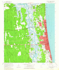
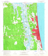
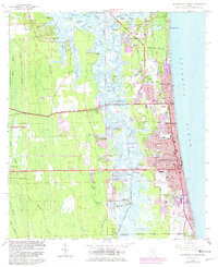
Editions of this 1964 Jacksonville Beach Map
7 editions found
Other maps of this area

1917 · Orange Park
USGS Topo · 1:62,500

1918 · Jacksonville
USGS Topo · 1:62,500

1918 · Orange Park
USGS Topo · 1:62,500

1918 · Palm Valley
USGS Topo · 1:62,500

1918 · Mayport
USGS Topo · 1:62,500

1948 · Jacksonville
USGS Topo · 1:250,000

1948 · Jacksonville Beach
USGS Topo · 1:24,000

1948 · Eastport
USGS Topo · 1:24,000

1949 · Jacksonville Beach
USGS Topo · 1:24,000

1950 · Arlington
USGS Topo · 1:24,000