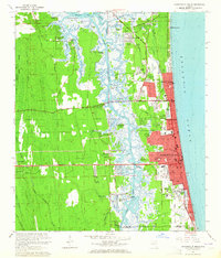
1964 Map of Jacksonville Beach
USGS Topo · Published 1965About this map
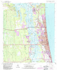
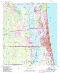
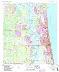
Pablo Creek and the Intracoastal Waterway carve through the coastal landscape, defining the separation between the dense mainland swamps and the growing beach communities of the mid-1960s. The shoreline is anchored by Jacksonville Beach, Atlantic Beach, and Neptune Beach, showing a grid of suburban expansion and tourism infrastructure, including the Jacksonville Beach Golf Club and El Verde Yacht Basin. To the north, the massive Mayport Naval Station occupies a significant portion of the peninsula, its naval piers and facilities standing in contrast to the nearby Indian Mound and traditional landmarks like Jordan Chapel. Inland, the geography is a complex network of marshy islands such as Crying Child Island and Seven Pines Island, while family history is preserved at Tillotson Cem and Rain Cem near the Municipal Airport (Craig Field).
Find a feature on this map
110 named features on this map. Tap any name to fly to it.
Don’t see what you’re looking for? This feature index may not catch every label — zoom into the map to look around manually.
Map Details
Editions of this 1964 Jacksonville Beach Map
7 editions found
Other maps of this area

1917 · Orange Park
USGS Topo · 1:62,500

1918 · Jacksonville
USGS Topo · 1:62,500

1918 · Orange Park
USGS Topo · 1:62,500

1918 · Palm Valley
USGS Topo · 1:62,500

1918 · Mayport
USGS Topo · 1:62,500

1948 · Jacksonville
USGS Topo · 1:250,000

1948 · Jacksonville Beach
USGS Topo · 1:24,000

1948 · Eastport
USGS Topo · 1:24,000

1949 · Jacksonville Beach
USGS Topo · 1:24,000

1950 · Arlington
USGS Topo · 1:24,000