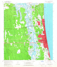
1964 Map of Jacksonville Beach
USGS Topo · Published 1966About this map
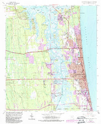
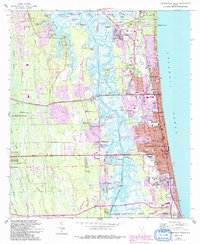
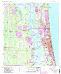
Mayport Naval Station and the sprawling coastal development of Jacksonville Beach define this mid-1960s coastal landscape. The transition from the dense residential grids of Atlantic Beach and Neptune Beach to the intricate network of islands and marshland along the Intracoastal Waterway is clearly visible. The map records several educational and religious landmarks, including Fletcher High Sch and Jordan Chapel, alongside recreational spaces like the Jacksonville Beach Golf Club.
Find a feature on this map
78 named features on this map. Tap any name to fly to it.
Don’t see what you’re looking for? This feature index may not catch every label — zoom into the map to look around manually.
Map Details
Editions of this 1964 Jacksonville Beach Map
7 editions found
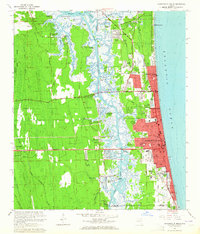
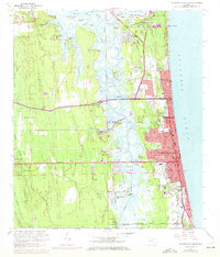
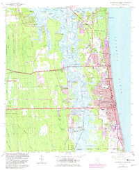
Other maps of this area

1917 · Orange Park
USGS Topo · 1:62,500

1918 · Jacksonville
USGS Topo · 1:62,500

1918 · Orange Park
USGS Topo · 1:62,500

1918 · Palm Valley
USGS Topo · 1:62,500

1918 · Mayport
USGS Topo · 1:62,500

1948 · Jacksonville
USGS Topo · 1:250,000

1948 · Jacksonville Beach
USGS Topo · 1:24,000

1948 · Eastport
USGS Topo · 1:24,000

1949 · Jacksonville Beach
USGS Topo · 1:24,000

1950 · Arlington
USGS Topo · 1:24,000