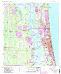
1964 Map of Jacksonville Beach
USGS Topo · Published 1992About this map
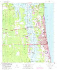
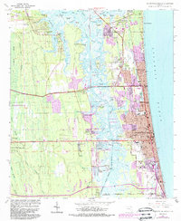
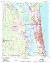
Pablo Creek and the Intracoastal Waterway carve through a landscape of coastal islands and marshes, separating mainland Jacksonville from the thriving beach communities of the 1960s. The mid-century development of Jacksonville Beach, Neptune Beach, and Atlantic Beach is documented through their grid-style expansion and local landmarks like Fletcher High School and The Beaches Hospital. Away from the shoreline, the map reveals established inland pockets like Donner and San Pablo, along with water-oriented communities including Holiday Harbor and Isle of Palms. This edition captures the infrastructure of a growing coastal corridor, featuring the McCormick Bridge and the Toll Road leading toward the coast. Cultural sites such as Tillotson Cemetery and Jordan Chapel provide valuable touchpoints for genealogists tracing family roots in this corner of Duval County.
Find a feature on this map
82 named features on this map. Tap any name to fly to it.
Don’t see what you’re looking for? This feature index may not catch every label — zoom into the map to look around manually.
Map Details
Editions of this 1964 Jacksonville Beach Map
7 editions found
Other maps of this area

1917 · Orange Park
USGS Topo · 1:62,500

1918 · Jacksonville
USGS Topo · 1:62,500

1918 · Orange Park
USGS Topo · 1:62,500

1918 · Palm Valley
USGS Topo · 1:62,500

1918 · Mayport
USGS Topo · 1:62,500

1948 · Jacksonville
USGS Topo · 1:250,000

1948 · Jacksonville Beach
USGS Topo · 1:24,000

1948 · Eastport
USGS Topo · 1:24,000

1949 · Jacksonville Beach
USGS Topo · 1:24,000

1950 · Arlington
USGS Topo · 1:24,000