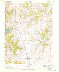
1971 Map of Jacksonville
USGS Topo · Published 1972About this map
Jacksonville and Cairo anchor the northern and southern ends of this rural Randolph County landscape, connected by the straight transit of the Norfolk and Western railroad. The terrain is defined by the headwaters of the Middle Fork Salt River, where numerous seasonal creeks like Hoover Creek and Mud Creek carve deep, branching drainage patterns into the surrounding farmland. Evidence of local industry and infrastructure appears in the northwest corner with a prominent Strip Mine, while a large Pipeline corridor cuts diagonally across the southern townships.
Find a feature on this map
23 named features on this map. Tap any name to fly to it.
Don’t see what you’re looking for? This feature index may not catch every label — zoom into the map to look around manually.
Map Details
Editions of this 1971 Jacksonville Map
2 editions found
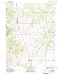
Other maps of this area

1890 · Moberly
USGS Topo · 1:125,000

1890 · Glasgow
USGS Topo · 1:125,000

1908 · Macon
USGS Topo · 1:62,500

1910 · Macon
USGS Topo · 1:62,500

1952 · Middle Grove
USGS Topo · 1:24,000

1953 · Moberly
USGS Topo · 1:250,000

1953 · Huntsville
USGS Topo · 1:24,000

1953 · Bevier South
USGS Topo · 1:24,000

1953 · College Mound
USGS Topo · 1:24,000
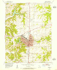
1953 · Moberly
USGS Topo · 1:24,000