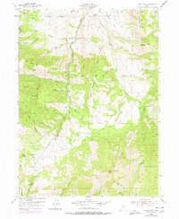
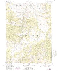
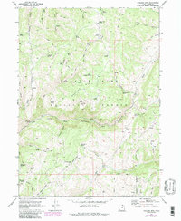
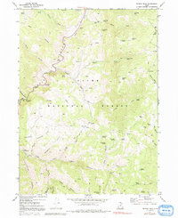
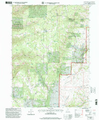
1955 Map of James Peak
USGS Topo · Published 1978About this map
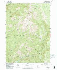
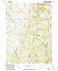
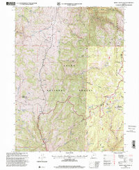
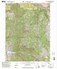
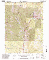
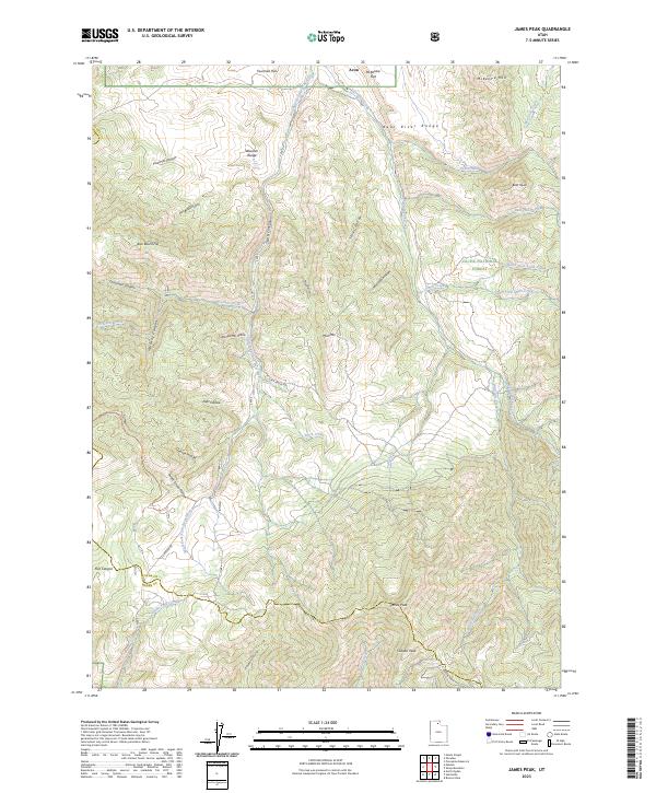
James Peak and the high ridges of the Cache National Forest dominate this mid-century survey along the border of Weber and Cache counties. The landscape is defined by the steep drainage systems of the Little South Fork Bear River and the South Fork Little Bear River, where numerous hollows and canyons bear the names of early settlers and ranching activities. Evidence of the area's resource history is scattered throughout the drainages, including the Honey Bee Mine and Bluebell Mine, as well as the Shingle Mill Hollow, indicating early timber or milling operations. Human activity is largely limited to remote outposts like the Fourmile Ranch and a network of primitive routes such as the Flint Grove Road and Davenport Road. The map provides a detailed look at the complex topography of Middle Mountain and McKenzie Mtn before significant modern development reached these higher elevations.
Find a feature on this map
50 named features on this map. Tap any name to fly to it.
Don’t see what you’re looking for? This feature index may not catch every label — zoom into the map to look around manually.
Map Details
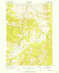
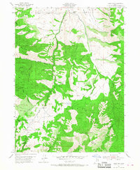
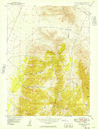
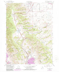
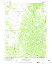
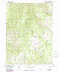
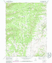
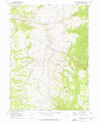
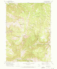
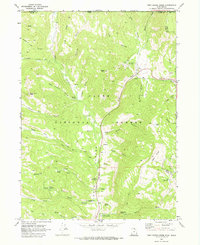
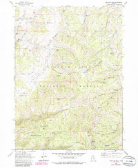
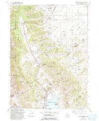
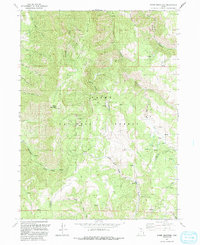
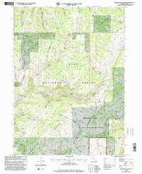
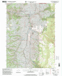
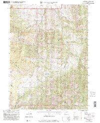
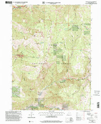
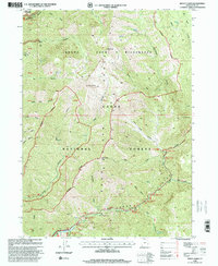
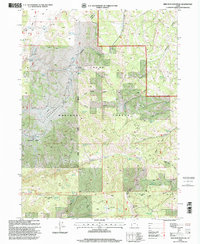
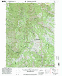
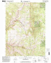
Editions of this 1955 James Peak Map
4 editions found
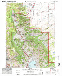
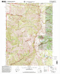
Historical Maps of Sundown Condominiums at Powder Mountain Through Time
48 maps found
1949 Boulter Mts
Cache County, UT
1955 James Peak
Cache County, UT
1955 Mount Pisgah
Cache County, UT
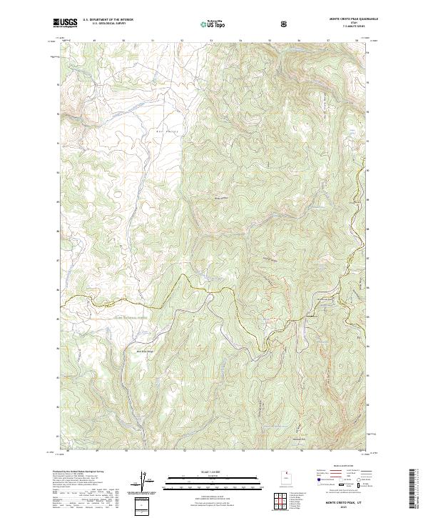
1964 Monte Cristo PK
Cache County, UT
1964 Sharp Mountain
Cache County, UT
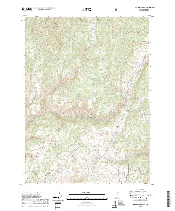
1969 Boulder Mtn
Cache County, UT
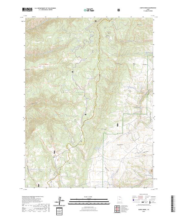
1969 Curtis Ridge
Cache County, UT
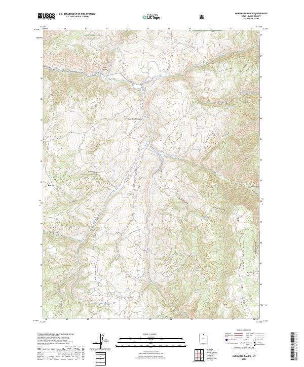
1969 Hardware Ranch
Cache County, UT
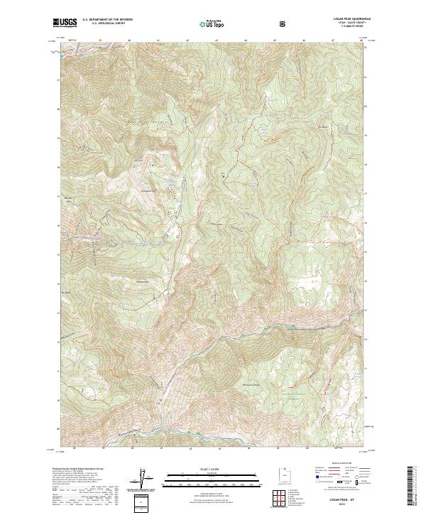
1969 Logan Peak
Cache County, UT
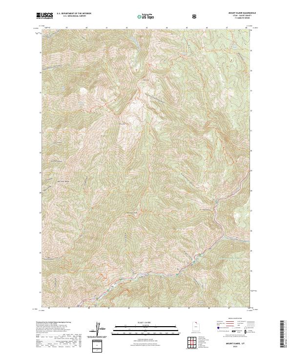
1969 Mt. Elmer
Cache County, UT
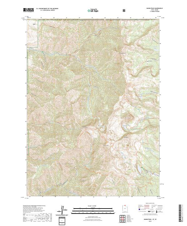
1969 Naomi Peak
Cache County, UT
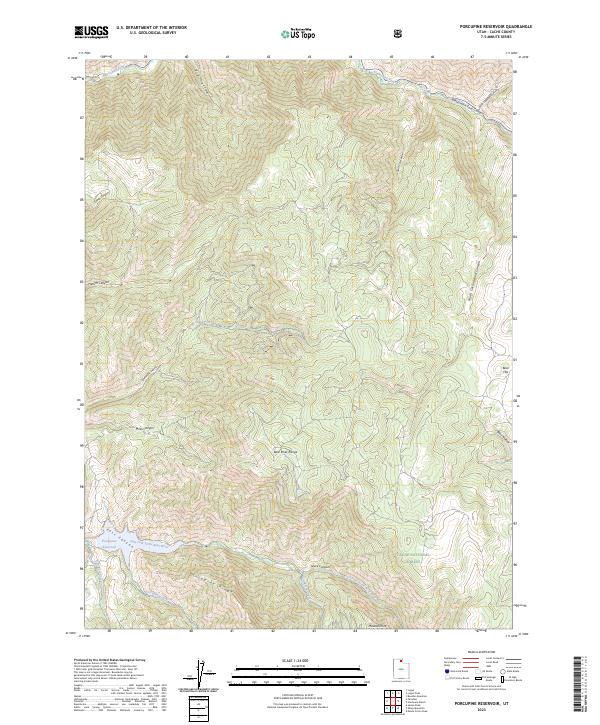
1969 Porcupine Reservoir
Cache County, UT
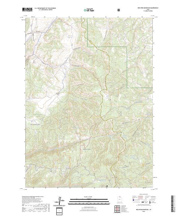
1969 Red Spur Mtn
Cache County, UT
1969 Temple Peak
Cache County, UT
1969 Tony Grove Creek
Cache County, UT
1986 Red Spur Mtn
Cache County, UT
1991 James Peak
Cache County, UT
1991 Monte Cristo Peak
Cache County, UT
1991 Mount Pisgah
Cache County, UT
1991 Sharp Mountain
Cache County, UT
1998 Boulder Mountain
Cache County, UT
1998 Curtis Ridge
Cache County, UT
1998 Hardware Ranch
Cache County, UT
1998 James Peak
Cache County, UT
1998 Logan Peak
Cache County, UT
1998 Monte Cristo Peak
Cache County, UT
1998 Mount Elmer
Cache County, UT
1998 Mount Pisgah
Cache County, UT
1998 Naomi Peak
Cache County, UT
1998 Porcupine Reservoir
Cache County, UT
1998 Red Spur Mountain
Cache County, UT
1998 Sharp Mountain
Cache County, UT
1998 Temple Peak
Cache County, UT
1998 Tony Grove Creek
Cache County, UT
2023 Boulder Mountain
Cache County, UT
2023 Curtis Ridge
Cache County, UT
2023 Hardware Ranch
Cache County, UT
2023 James Peak
Cache County, UT
2023 Logan Peak
Cache County, UT
2023 Monte Cristo Peak
Cache County, UT
2023 Mount Elmer
Cache County, UT
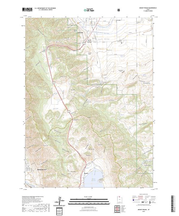
2023 Mount Pisgah
Cache County, UT
2023 Naomi Peak
Cache County, UT
2023 Porcupine Reservoir
Cache County, UT
2023 Red Spur Mountain
Cache County, UT
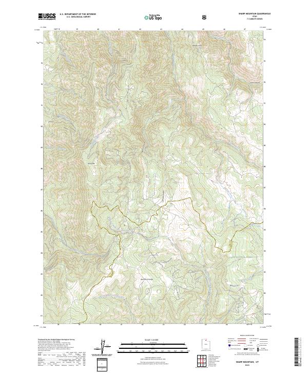
2023 Sharp Mountain
Cache County, UT
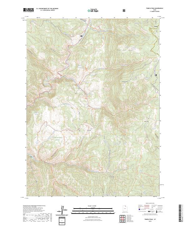
2023 Temple Peak
Cache County, UT
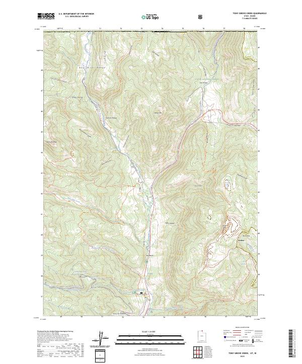
2023 Tony Grove Creek
Cache County, UT
Featured Locations
- Box Elder County, UT
- Cache County, UT
- Weber County, UT
- Powder Mountain, UT
- Sundown Condominiums at Powder Mountain, UT