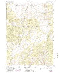
1955 Map of James Peak
USGS Topo · Published 1986About this map
James Peak rises above the transition from high ridgelines to deeply incised canyons at the mid-century intersection of Cache County and Weber County. This high-elevation landscape, largely contained within the Wasatch Cache National Forest, reflects a history of both resource extraction and early mountain recreation. Evidence of local industry is found at the Honey Bee Mine and the timber-associated Shingle Mill Hollow, while agricultural presence is marked by the remote Fourmile Ranch near the northern boundary. The 1980s updates on this sheet highlight the growth of the Powder Mountain Ski Area in the south, showing how the economy shifted from mining and ranching toward seasonal tourism. Water management is a central theme, with named sites like Halfway Reservoir and Pets Spring supporting the high-country landscape near Wellsville Mountain.
Find a feature on this map
52 named features on this map. Tap any name to fly to it.
Don’t see what you’re looking for? This feature index may not catch every label — zoom into the map to look around manually.
Map Details
Editions of this 1955 James Peak Map
4 editions found
Other maps of this area

1914 · Logan
USGS Topo · 1:125,000

1916 · Logan
USGS Topo · 1:125,000

1954 · Ogden
USGS Topo · 1:250,000

1955 · Paradise
USGS Topo · 1:24,000

1955 · Mantua
USGS Topo · 1:24,000

1955 · Huntsville
USGS Topo · 1:24,000

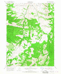
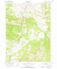
1955 · James Peak
USGS Topo · 1:24,000

1955 · North Ogden
USGS Topo · 1:24,000

1955 · Mount Pisgah
USGS Topo · 1:24,000

1958 · Ogden
USGS Topo · 1:250,000
Featured Places
- Sundown Condominiums at Powder Mountain, UT
- Powder Mountain, UT
- Weber County, UT
- Cache County, UT
- Box Elder County, UT