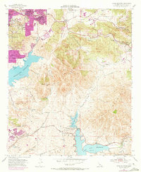
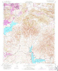
1955 Map of Jamul Mountains
USGS Topo · Published 1973About this map
San Miguel Mountain dominates the center of this landscape, anchoring a region of San Diego County caught between established ranchlands and rapid mid-century suburban expansion. To the northwest, the purple-tinted footprints of Spring Valley and Casa de Oro show the growth of residential tracts along the Campo Highway. These modern developments contrast with the older agrarian patterns of the Ivanhoe Ranch and Fenton Ranch, and the isolated presence of The Oaks School in the eastern foothills.
Find a feature on this map
54 named features on this map. Tap any name to fly to it.
Don’t see what you’re looking for? This feature index may not catch every label — zoom into the map to look around manually.
Map Details
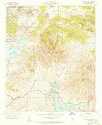
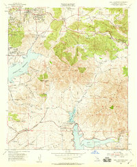
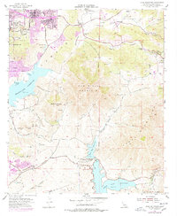
Editions of this 1955 Jamul Mountains Map
5 editions found
Other maps of this area

1893 · El Cajon
USGS Topo · 1:62,500

1901 · Elcajon
USGS Topo · 1:62,500

1903 · Cuyamaca
USGS Topo · 1:125,000

1903 · La Jolla
USGS Topo · 1:62,500

1903 · Elcajon
USGS Topo · 1:62,500

1904 · San Diego
USGS Topo · 1:62,500

1904 · Southern California Sheet No. 2
USGS Topo · 1:250,000

1930 · La Jolla
USGS Topo · 1:62,500

1930 · San Diego
USGS Topo · 1:62,500

1939 · El Cajon
USGS Topo · 1:62,500