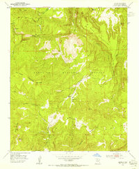
1953 Map of Jarosa
USGS Topo · Published 1955About this map
The high-altitude drainage systems of Santa Fe National Forest define the geography of this mid-century survey. Headwaters for several significant waterways, including Poleo Creek, the Rio Puerco, and the Rito de las Calaveras, carve through a landscape of prominent mesas such as Mesa Pinabeta and the expansive Mesa Pinabetosa. The map documents a sparsely settled wilderness where human activity is primarily limited to resource extraction and outdoor recreation, evidenced by the presence of Mining Mountain and the Rio Puerco Campground.
Find a feature on this map
29 named features on this map. Tap any name to fly to it.
Don’t see what you’re looking for? This feature index may not catch every label — zoom into the map to look around manually.
Map Details
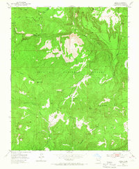
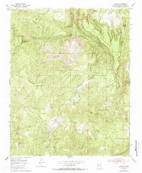
Editions of this 1953 Jarosa Map
3 editions found
Other maps of this area

1890 · Jemes
USGS Topo · 1:125,000

1892 · Jemes
USGS Topo · 1:125,000

1909 · Gallina
USGS Topo · 1:125,000

1937 · Jemez Springs
USGS Topo · 1:48,000

1939 · La Ventana
USGS Topo · 1:62,500

1940 · Cuba
USGS Topo · 1:62,500

1943 · Cuba
USGS Topo · 1:62,500

1943 · La Ventana
USGS Topo · 1:62,500

1944 · Jemez Springs
USGS Topo · 1:62,500

1952 · Jemez Springs
USGS Topo · 1:62,500