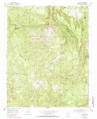
1953 Map of Jarosa
USGS Topo · Published 1979About this map
The San Pedro Mountains dominate this high-altitude landscape within the Santa Fe National Forest, where steep canyons and flat-topped mesas define the terrain. In the early 1950s, this area of Rio Arriba remained a rugged domain of forest service sites and water resources, featuring the Rio Puerco Campground and various springs like the one near Branch Tank. The presence of Mining Mountain and isolated Mine symbols suggests a history of mineral prospecting in the highlands, while landmarks such as Teakettle Rock and Cerro Jarocito provide distinct navigational points. Several drainages including Rito Puerco and Rito de las Vacas carve through the land, alongside named clearings and flats like Rincon de Jaques and Vega Cochina, which likely served as seasonal grazing grounds.
Find a feature on this map
29 named features on this map. Tap any name to fly to it.
Don’t see what you’re looking for? This feature index may not catch every label — zoom into the map to look around manually.
Map Details
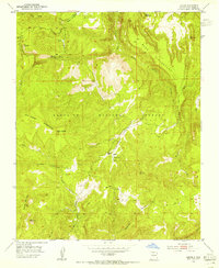
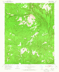
Editions of this 1953 Jarosa Map
3 editions found
Other maps of this area

1890 · Jemes
USGS Topo · 1:125,000

1892 · Jemes
USGS Topo · 1:125,000

1909 · Gallina
USGS Topo · 1:125,000

1937 · Jemez Springs
USGS Topo · 1:48,000

1939 · La Ventana
USGS Topo · 1:62,500

1940 · Cuba
USGS Topo · 1:62,500

1943 · Cuba
USGS Topo · 1:62,500

1943 · La Ventana
USGS Topo · 1:62,500

1944 · Jemez Springs
USGS Topo · 1:62,500

1952 · Jemez Springs
USGS Topo · 1:62,500