
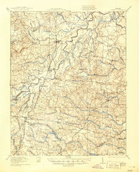
1919 Map of Jarratt
USGS Topo · Published 1919About this map
The Nottoway River meanders through this landscape, defining the junction of several Virginia counties including Sussex, Greensville, and Southampton. In 1918, the region was a significant junction for three major rail lines—the Atlantic Coast Line, the Virginian, and the Southern—which facilitated the local timber and agricultural economy. The village of Jarratt serves as a primary hub, surrounded by smaller communities and specialized industrial sites like Pedneans Stave Mill and Harrells Mill.
Find a feature on this map
73 named features on this map. Tap any name to fly to it.
Don’t see what you’re looking for? This feature index may not catch every label — zoom into the map to look around manually.
Map Details
Editions of this 1919 Jarratt Map
3 editions found

Other maps of this area

1894 · Petersburg
USGS Topo · 1:62,500

1897 · Amelia
USGS Topo · 1:125,000

1919 · Mc Kenney
USGS Topo · 1:48,000

1919 · Disputanta
USGS Topo · 1:62,500

1919 · Homeville
USGS Topo · 1:48,000

1919 · Boykins
USGS Topo · 1:48,000

1919 · Emporia
USGS Topo · 1:62,500

1919 · Arringdale
USGS Topo · 1:48,000

1920 · Homeville
USGS Topo · 1:62,500

1920 · Boykins
USGS Topo · 1:62,500