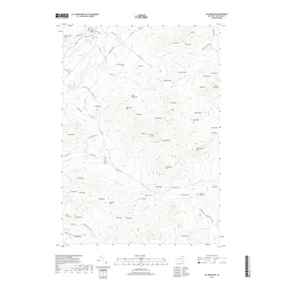
2019 Map of Jay Mountain
USGS Topo · Published 2019About this map
The Jay Covered Bridge spans the East Branch Ausable River at the northern edge of this terrain, marking the historic settlement of Jay. This area of the High Peaks region is defined by the high elevations of the Jay Mountains, where peaks like Jay Mtn and the uniquely named Bitch Mtn rise above deep basins and notches. Within the protected boundaries of the Adirondack Park Preserve, the landscape is etched by a dense network of watercourses including McNalley Brook, Styles Brook, and Spruce Mill Brook.
Find a feature on this map
91 named features on this map. Tap any name to fly to it.
Don’t see what you’re looking for? This feature index may not catch every label — zoom into the map to look around manually.
Map Details
Editions of this 2019 Jay Mountain Map
This is the sole edition of this map. No revisions or reprints were ever made.
Other maps of this area

1894 · Elizabethtown
USGS Topo · 1:62,500

1895 · Elizabethtown
USGS Topo · 1:62,500

1895 · Mt. Marcy
USGS Topo · 1:62,500

1895 · Ausable
USGS Topo · 1:62,500

1896 · Lake Placid
USGS Topo · 1:62,500

1898 · Lake Placid
USGS Topo · 1:62,500

1901 · Elizabethtown
USGS Topo · 1:62,500

1902 · Mt. Marcy
USGS Topo · 1:62,500

1903 · Ausable
USGS Topo · 1:62,500

1950 · Lake Champlain
USGS Topo · 1:250,000