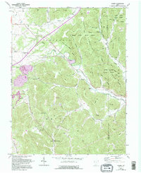
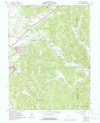
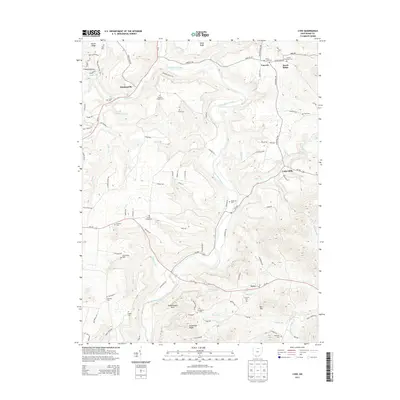
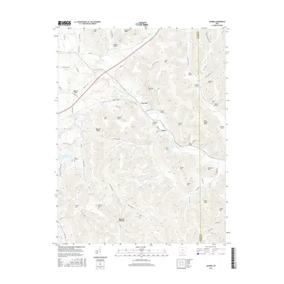
1961 Map of Jaybird
USGS Topo · Published 1995About this map
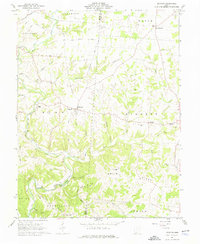
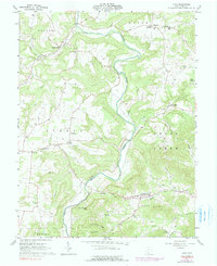
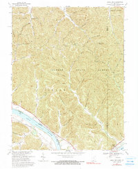
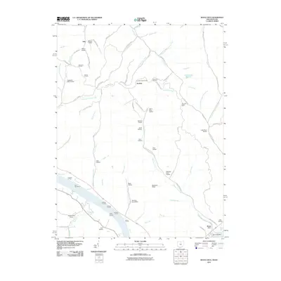
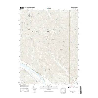
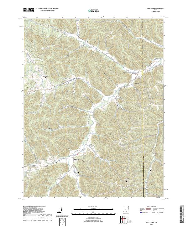
Brush Creek State Forest dominates this section of the Virginia Military District, where the rugged terrain of the Appalachian Plateau meets the drainage of Scioto Brush Creek. The landscape is a complex network of ridges and hollows, including Hackleshin Ridge and Moon Ridge, punctuated by family landmarks and small hilltop settlements. In the southwest, the recreational and mineral character of the area is evident around Mineral Springs Lake and the community of Mineral Springs. Genealogists will find several remote burial sites such as Peach Mountain Cem and Aikens Cem, which serve as vital markers of early upland settlement. Industrial and transit features include the General Electric Landing Strip and a Lookout Tower on Peach Mountain, reflecting mid-century forest management and private aviation infrastructure.
Find a feature on this map
64 named features on this map. Tap any name to fly to it.
Don’t see what you’re looking for? This feature index may not catch every label — zoom into the map to look around manually.
Map Details
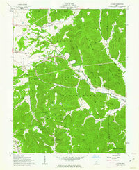
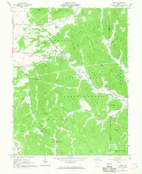
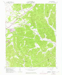
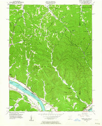
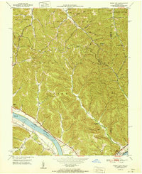
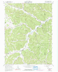
Editions of this 1961 Jaybird Map
5 editions found
Historical Maps of Mineral Springs Through Time
32 maps found
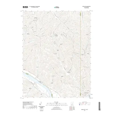
1949 Buena Vista
Adams County, OH
1951 Buena Vista
Adams County, OH
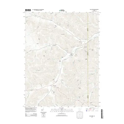
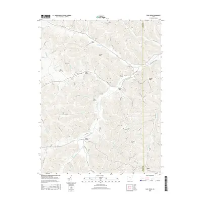
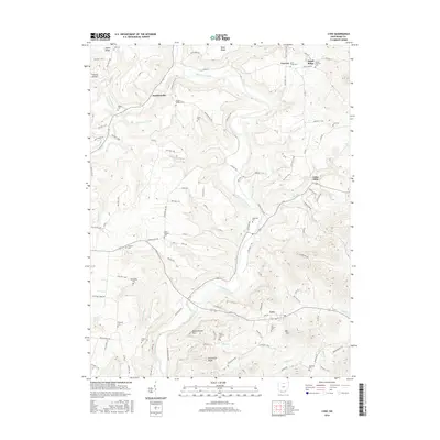
1961 Blue Creek
Adams County, OH
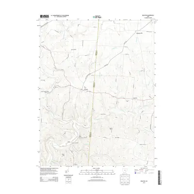
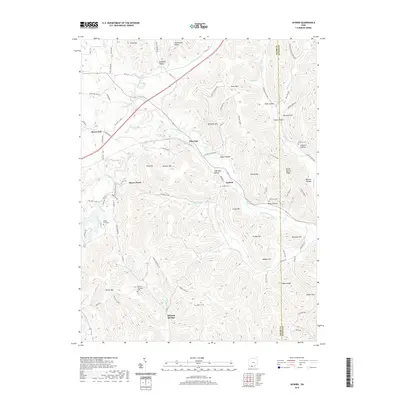
1961 Decatur
Adams County, OH
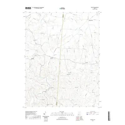
1961 Jaybird
Adams County, OH
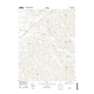
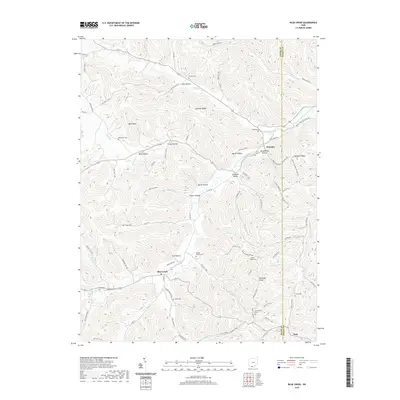
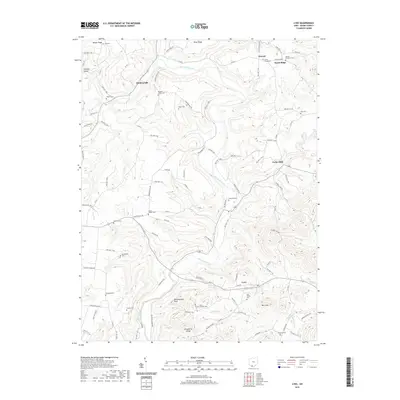
1961 Lynx
Adams County, OH
1967 Buena Vista
Adams County, OH
2010 Blue Creek
Adams County, OH
2010 Buena Vista
Adams County, OH
2010 Decatur
Adams County, OH
2010 Jaybird
Adams County, OH
2010 Lynx
Adams County, OH
2013 Blue Creek
Adams County, OH
2013 Buena Vista
Adams County, OH
2013 Decatur
Adams County, OH
2013 Jaybird
Adams County, OH
2013 Lynx
Adams County, OH
2016 Blue Creek
Adams County, OH
2016 Buena Vista
Adams County, OH
2016 Decatur
Adams County, OH
2016 Jaybird
Adams County, OH
2016 Lynx
Adams County, OH
2019 Blue Creek
Adams County, OH
2019 Buena Vista
Adams County, OH
2019 Decatur
Adams County, OH
2019 Jaybird
Adams County, OH
2019 Lynx
Adams County, OH
2023 Blue Creek
Adams County, OH
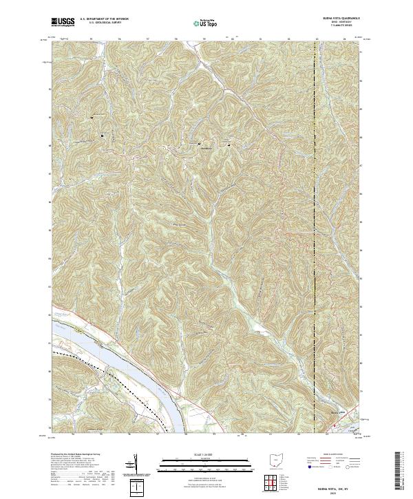
2023 Buena Vista
Adams County, OH
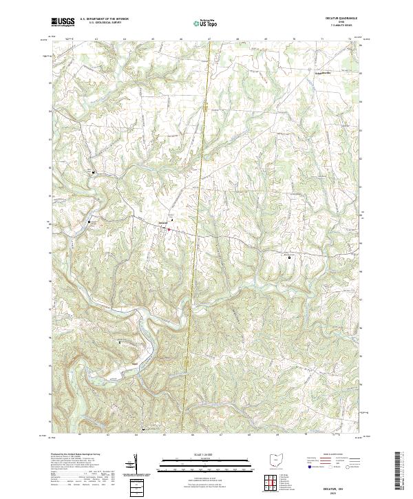
2023 Decatur
Adams County, OH
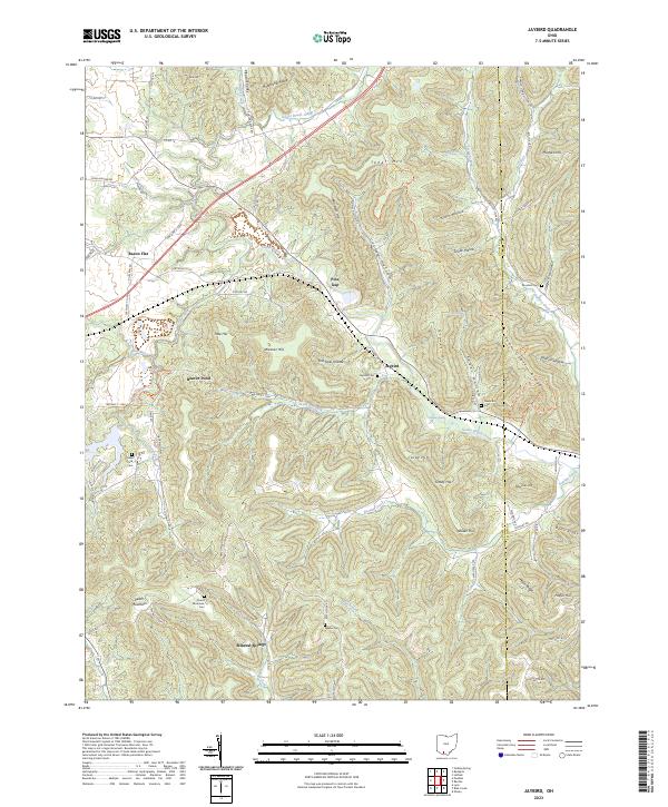
2023 Jaybird
Adams County, OH
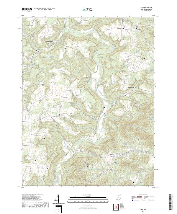
2023 Lynx
Adams County, OH