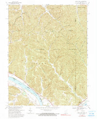
1967 Map of Buena Vista
USGS Topo · Published 1990About this map
The Ohio River forms a wide, sweeping boundary between Ohio and Kentucky on this mid-century survey, defining the industrial and transport corridor for the riverfront communities of Stout and Buena Vista. Along the northern bank, the Chesapeake and Ohio railroad follows the shoreline, serving a landscape dominated by the dense woodlands of Shawnee State Forest. The interior terrain is deeply dissected by numerous family-named hollows and creek branches, such as Silver Mine Hollow and Copperas Rock Hollow, which suggest a history of local resource extraction and early settlement patterns in the rugged hills of Adams Co.
Find a feature on this map
60 named features on this map. Tap any name to fly to it.
Don’t see what you’re looking for? This feature index may not catch every label — zoom into the map to look around manually.
Map Details
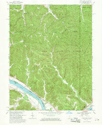
Editions of this 1967 Buena Vista Map
2 editions found
Other maps of this area

1915 · Garrison
USGS Topo · 1:62,500

1915 · Otway
USGS Topo · 1:62,500

1916 · Peebles
USGS Topo · 1:62,500

1917 · Otway
USGS Topo · 1:62,500

1918 · Garrison
USGS Topo · 1:62,500

1918 · Peebles
USGS Topo · 1:62,500

1919 · Vanceburg
USGS Topo · 1:62,500

1949 · Pond Run
USGS Topo · 1:24,000

1949 · Vanceburg
USGS Topo · 1:62,500

1949 · Garrison
USGS Topo · 1:24,000