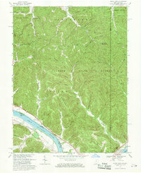
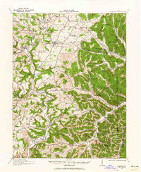
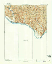
1967 Map of Buena Vista
USGS Topo · Published 1969About this map
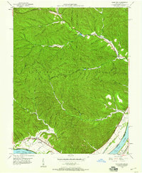
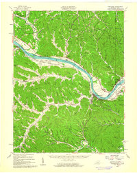
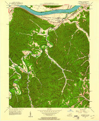
Shawnee State Forest dominates this section of the Appalachian plateau along the Ohio River, where steep hollows and ridges define the border between Ohio and Kentucky. The landscape reflects a traditional river-and-rail economy, with the Chesapeake and Ohio railroad skirting the southern bank while small riverfront settlements like Buena Vista and Stout occupy the narrow floodplains. Inland, the terrain is deeply dissected by drainages such as Churn Creek and Sulphur Creek, creating isolated pockets for community life represented by the Quick Run Chapel and the Upper Blue Creek Tabernacle.
Find a feature on this map
63 named features on this map. Tap any name to fly to it.
Don’t see what you’re looking for? This feature index may not catch every label — zoom into the map to look around manually.
Map Details
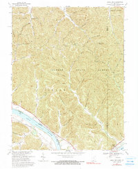
Editions of this 1967 Buena Vista Map
2 editions found
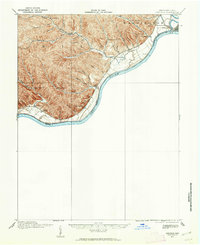
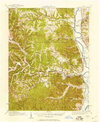
Other maps of this area
1915 · Garrison
USGS Topo · 1:62,500
1915 · Otway
USGS Topo · 1:62,500
1916 · Peebles
USGS Topo · 1:62,500
1917 · Otway
USGS Topo · 1:62,500
1918 · Garrison
USGS Topo · 1:62,500
1918 · Peebles
USGS Topo · 1:62,500
1919 · Vanceburg
USGS Topo · 1:62,500
1949 · Pond Run
USGS Topo · 1:24,000
1949 · Vanceburg
USGS Topo · 1:62,500
1949 · Garrison
USGS Topo · 1:24,000