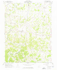
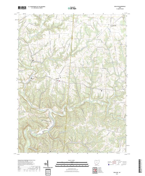
1961 Map of Decatur
USGS Topo · Published 1976About this map
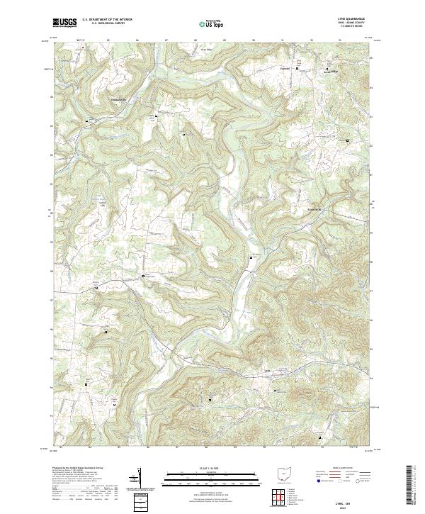
Decatur and the surrounding villages of Eckmansville and Fairview anchor this early 1960s survey along the Brown and Adams County line. The landscape is defined by the winding tributaries of the Ohio River drainage, most notably Eagle Creek and the West Fork and East Fork. Significant local infrastructure is documented, including a Covered Bridge crossing near Neel, and several rural education and religious centers such as the Township School, Liberty Chapel, and Brier Ridge Church.
Find a feature on this map
54 named features on this map. Tap any name to fly to it.
Don’t see what you’re looking for? This feature index may not catch every label — zoom into the map to look around manually.
Map Details
Editions of this 1961 Decatur Map
2 editions found
Historical Maps of Decatur Through Time
32 maps found
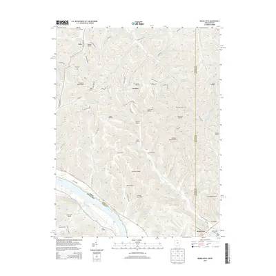
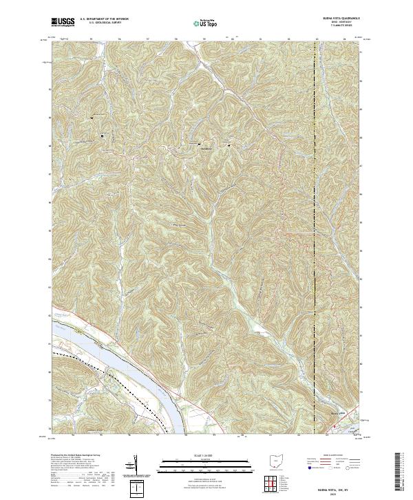
1949 Buena Vista
Adams County, OH
1951 Buena Vista
Adams County, OH
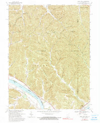
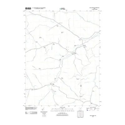
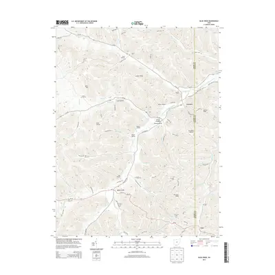
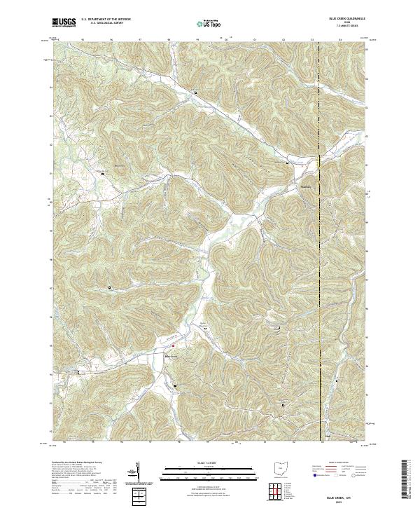
1961 Blue Creek
Adams County, OH
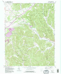
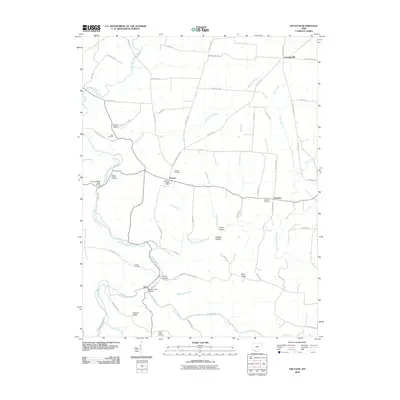
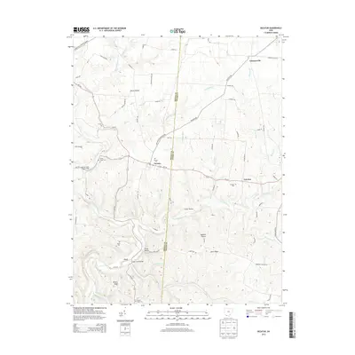
1961 Decatur
Adams County, OH
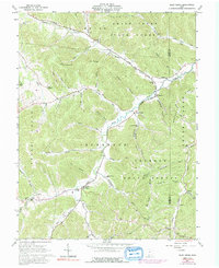
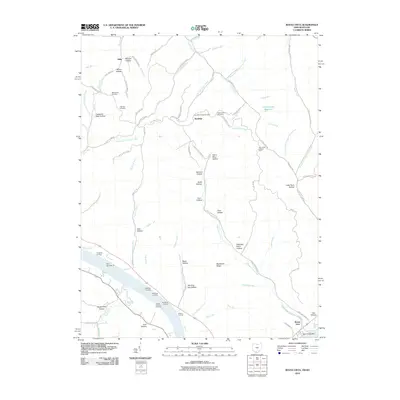
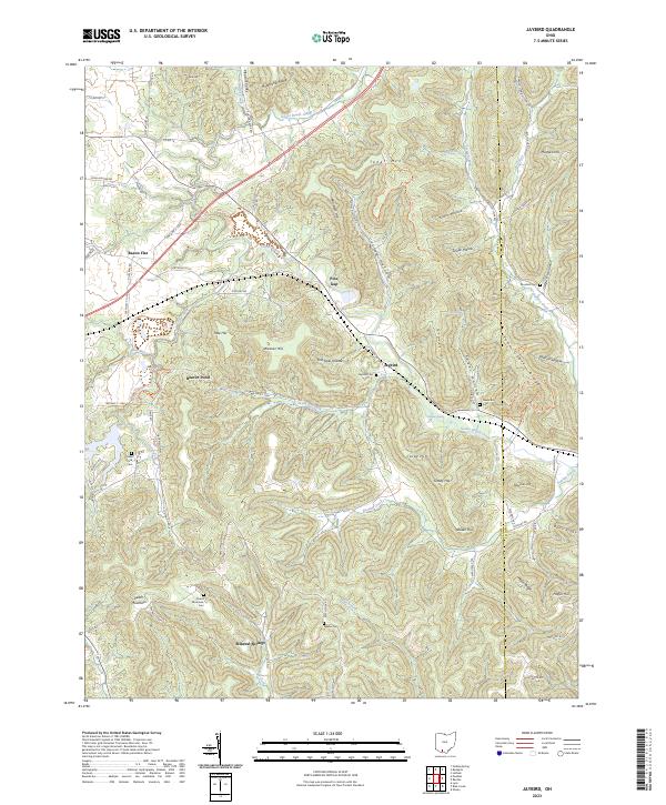
1961 Jaybird
Adams County, OH
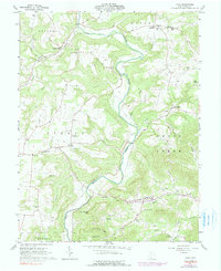
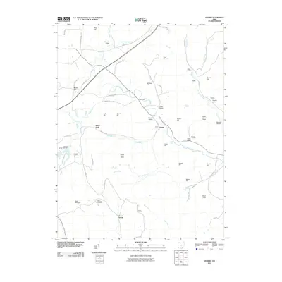
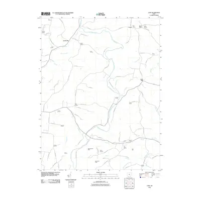
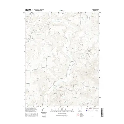
1961 Lynx
Adams County, OH
1967 Buena Vista
Adams County, OH
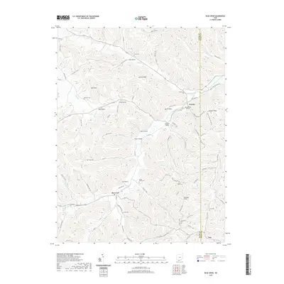
2010 Blue Creek
Adams County, OH
2010 Buena Vista
Adams County, OH
2010 Decatur
Adams County, OH
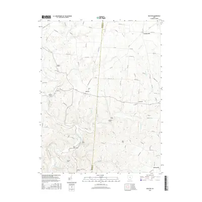
2010 Jaybird
Adams County, OH
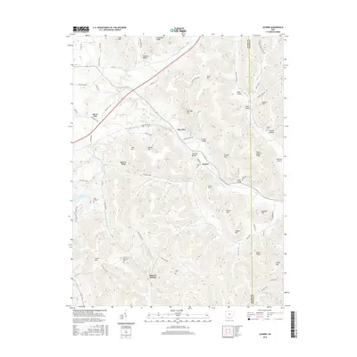
2010 Lynx
Adams County, OH
2013 Blue Creek
Adams County, OH
2013 Buena Vista
Adams County, OH
2013 Decatur
Adams County, OH
2013 Jaybird
Adams County, OH
2013 Lynx
Adams County, OH
2016 Blue Creek
Adams County, OH
2016 Buena Vista
Adams County, OH
2016 Decatur
Adams County, OH
2016 Jaybird
Adams County, OH
2016 Lynx
Adams County, OH
2019 Blue Creek
Adams County, OH
2019 Buena Vista
Adams County, OH
2019 Decatur
Adams County, OH
2019 Jaybird
Adams County, OH
2019 Lynx
Adams County, OH
2023 Blue Creek
Adams County, OH
2023 Buena Vista
Adams County, OH
2023 Decatur
Adams County, OH
2023 Jaybird
Adams County, OH
2023 Lynx
Adams County, OH