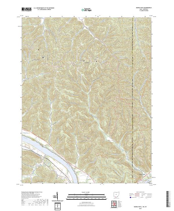
2023 Map of Buena Vista
USGS Topo · Published 2023About this map
The Ohio River carves the southern boundary of this landscape, separating the rugged hill country of Ohio from the Kentucky shoreline. The riverfront hamlet of Buena Vista sits near the confluence of Rock Run, marking a historic point of transition between the river economy and the deeply dissected uplands of the Adams and Scioto county line. Inland, the terrain is characterized by a dense network of ridges and hollows, such as Demazle Hollow and Silver Mine Hollow, where small communities like Sunshine developed along the winding ridge roads.
Find a feature on this map
103 named features on this map. Tap any name to fly to it.
Don’t see what you’re looking for? This feature index may not catch every label — zoom into the map to look around manually.
Map Details
Editions of this 2023 Buena Vista Map
This is the sole edition of this map. No revisions or reprints were ever made.
Other maps of this area

1915 · Garrison
USGS Topo · 1:62,500

1915 · Otway
USGS Topo · 1:62,500

1916 · Peebles
USGS Topo · 1:62,500

1917 · Otway
USGS Topo · 1:62,500

1918 · Garrison
USGS Topo · 1:62,500

1918 · Peebles
USGS Topo · 1:62,500

1919 · Vanceburg
USGS Topo · 1:62,500

1949 · Pond Run
USGS Topo · 1:24,000

1949 · Vanceburg
USGS Topo · 1:62,500

1949 · Garrison
USGS Topo · 1:24,000