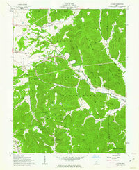
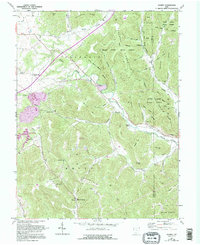
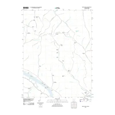
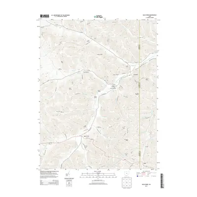
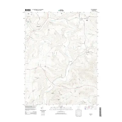
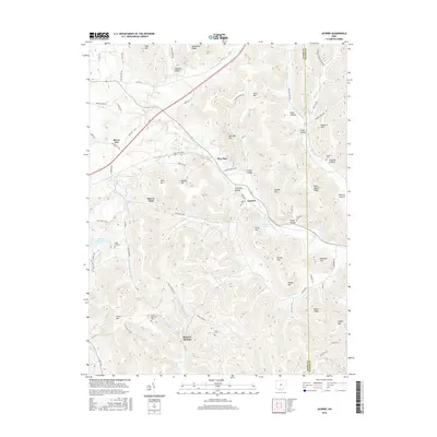
1961 Map of Jaybird
USGS Topo · Published 1962About this map
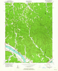
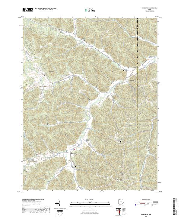
Brush Creek State Forest dominates the southern half of this landscape, where the ridges of Peach Mountain and Tener Mountain define the high ground of the Adams and Scioto county line. The Norfolk and Western railroad snakes through the valleys of Scioto Brush Creek and Brush Creek, connecting the small settlements of Jaybird, Beaver Pond, and Bacon Flat.
Find a feature on this map
62 named features on this map. Tap any name to fly to it.
Don’t see what you’re looking for? This feature index may not catch every label — zoom into the map to look around manually.
Map Details
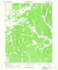
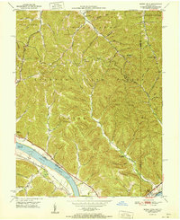
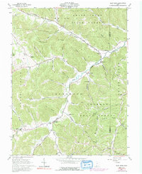
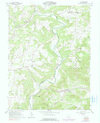
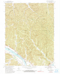
Editions of this 1961 Jaybird Map
5 editions found
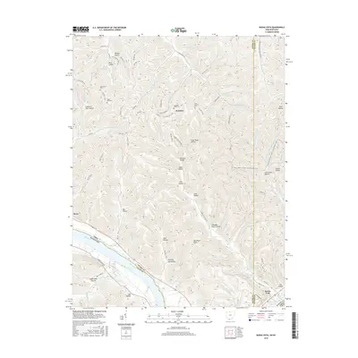
Historical Maps of Mineral Springs Through Time
32 maps found
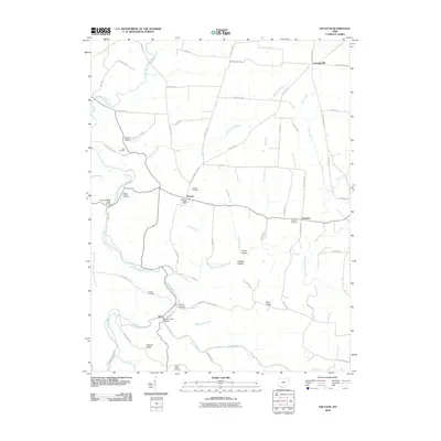
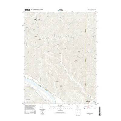
1949 Buena Vista
Adams County, OH
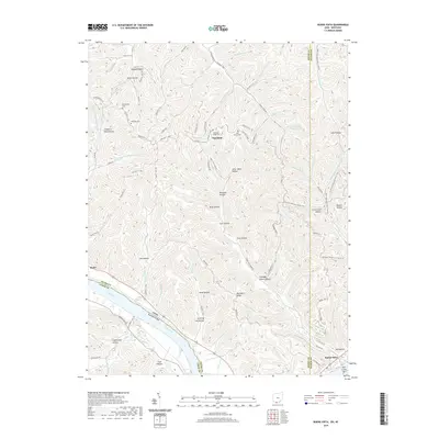
1951 Buena Vista
Adams County, OH
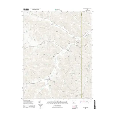
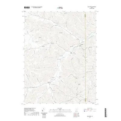
1961 Blue Creek
Adams County, OH
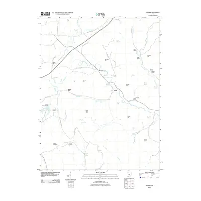
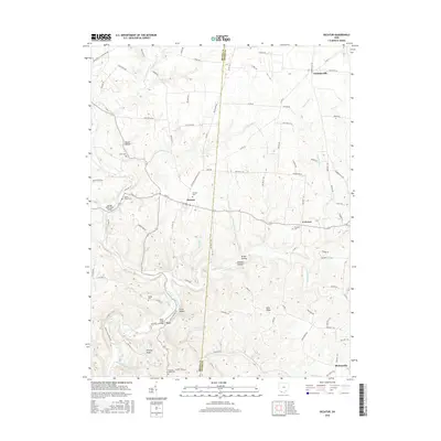
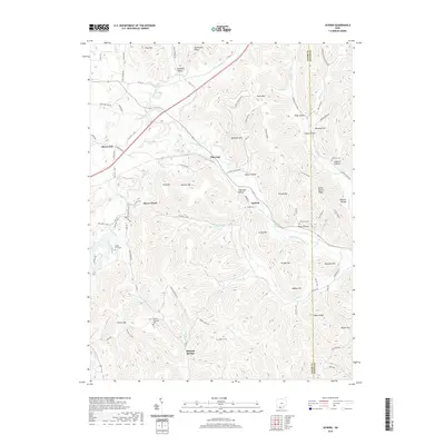
1961 Decatur
Adams County, OH
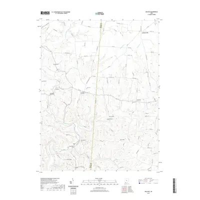
1961 Jaybird
Adams County, OH
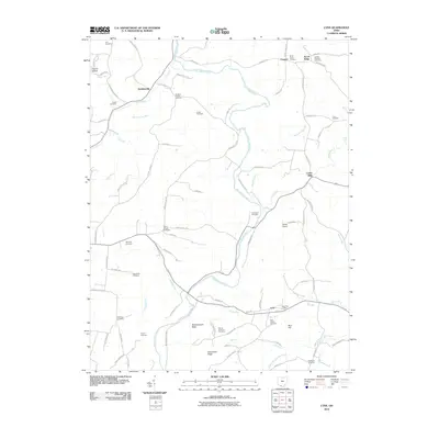
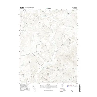
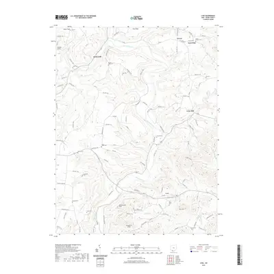
1961 Lynx
Adams County, OH
1967 Buena Vista
Adams County, OH
2010 Blue Creek
Adams County, OH
2010 Buena Vista
Adams County, OH
2010 Decatur
Adams County, OH
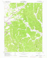
2010 Jaybird
Adams County, OH
2010 Lynx
Adams County, OH
2013 Blue Creek
Adams County, OH
2013 Buena Vista
Adams County, OH
2013 Decatur
Adams County, OH
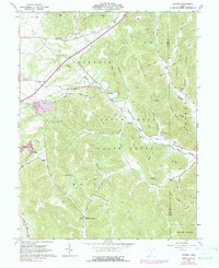
2013 Jaybird
Adams County, OH
2013 Lynx
Adams County, OH
2016 Blue Creek
Adams County, OH
2016 Buena Vista
Adams County, OH
2016 Decatur
Adams County, OH
2016 Jaybird
Adams County, OH
2016 Lynx
Adams County, OH
2019 Blue Creek
Adams County, OH
2019 Buena Vista
Adams County, OH
2019 Decatur
Adams County, OH
2019 Jaybird
Adams County, OH
2019 Lynx
Adams County, OH
2023 Blue Creek
Adams County, OH
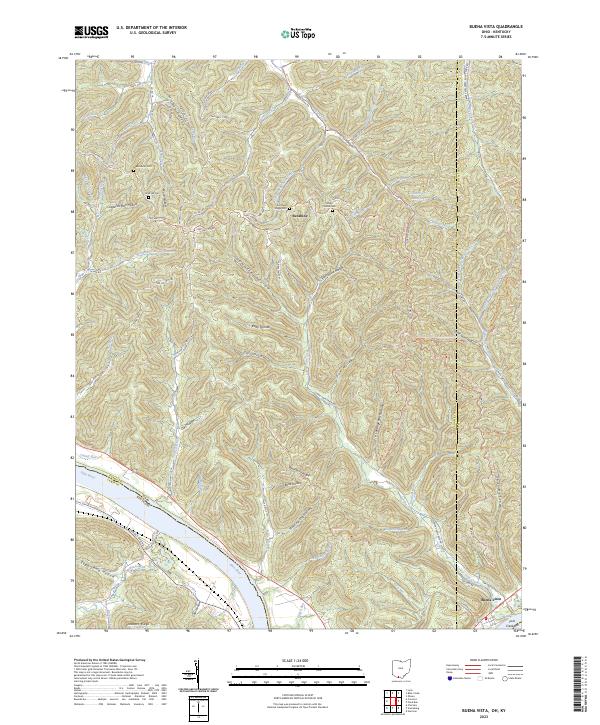
2023 Buena Vista
Adams County, OH
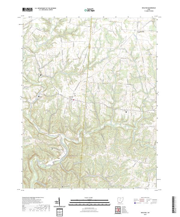
2023 Decatur
Adams County, OH
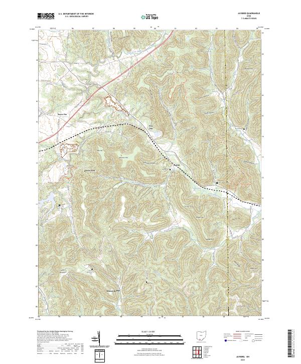
2023 Jaybird
Adams County, OH
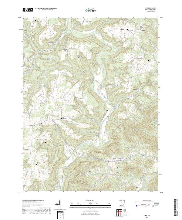
2023 Lynx
Adams County, OH