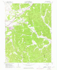
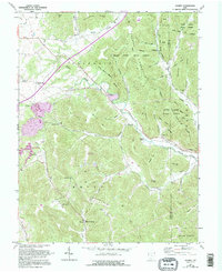
1961 Map of Jaybird
USGS Topo · Published 1975About this map
Brush Creek State Forest dominates this topographic record of the Adams and Scioto county line during the mid-twentieth century. The landscape is defined by the winding course of Scioto Brush Creek and the steep elevation changes of Tener Mountain and Peach Mountain. While much of the area remained forested, small agrarian settlements like Jaybird and Bacon Flat persist along the valley floors. Transportation was anchored by the Norfolk and Western railroad, which follows the creek beds to navigate the difficult terrain.
Find a feature on this map
57 named features on this map. Tap any name to fly to it.
Don’t see what you’re looking for? This feature index may not catch every label — zoom into the map to look around manually.
Map Details
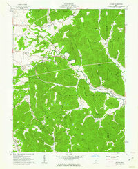
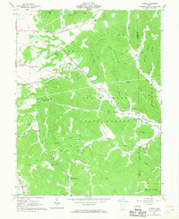
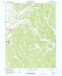
Editions of this 1961 Jaybird Map
5 editions found
Other maps of this area

1915 · Bainbridge
USGS Topo · 1:48,000

1915 · Otway
USGS Topo · 1:62,500

1915 · Piketon
USGS Topo · 1:62,500

1916 · Peebles
USGS Topo · 1:62,500

1917 · Bainbridge
USGS Topo · 1:62,500

1917 · Piketon
USGS Topo · 1:62,500

1917 · Otway
USGS Topo · 1:62,500

1918 · Peebles
USGS Topo · 1:62,500

1944 · Piketon
USGS Topo · 1:62,500

1947 · Columbus
USGS Topo · 1:250,000