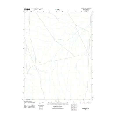
2011 Map of Jayhawk Well
USGS Topo · Published 2011About this map
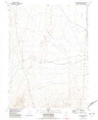
The arid Pershing County landscape is defined by the ephemeral drainage patterns typical of the Great Basin. Centered on the Jayhawk Well, this area represents a critical water point for local ranching or transit within a terrain otherwise marked by dry washes and gradual alluvial fans. The network of unimproved roads and four-wheel-drive tracks indicates a space primarily used for resource access and seasonal navigation rather than permanent settlement. The topography is dominated by the subtle descent of the desert floor, where the presence of a named well often serves as the singular landmark for miles, anchoring the local geographic history of this portion of Nevada.
Find a feature on this map
1 named feature on this map. Tap any name to fly to it.
Don’t see what you’re looking for? This feature index may not catch every label — zoom into the map to look around manually.
Map Details
Editions of this 2011 Jayhawk Well Map
This is the sole edition of this map. No revisions or reprints were ever made.
Other maps of this area

1886 · Granite Range
USGS Topo · 1:250,000

1894 · Granite Range
USGS Topo · 1:250,000

1955 · Lovelock
USGS Topo · 1:250,000

1959 · Lovelock
USGS Topo · 1:250,000
1964 · Tohakum Peak NE
USGS Topo · 1:24,000

1964 · Kumiva Peak
USGS Topo · 1:62,500

1981 · Twin Buttes Well
USGS Topo · 1:24,000
1981 · Tunnel Spring
USGS Topo · 1:24,000
1981 · Betty Creek
USGS Topo · 1:24,000
1981 · Jayhawk Well
USGS Topo · 1:24,000