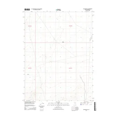
2014 Map of Jayhawk Well
USGS Topo · Published 2014About this map
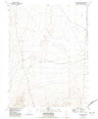
Kumiva Valley defines the arid landscape of this Pershing County quadrangle, where the desert floor is marked by the vital presence of Jayhawk Well. This 2014 survey documents the remote Basin and Range terrain, illustrating the sparse network of 4WD tracks and section lines that crisscross the sagebrush flats. The topographic detail reveals the subtle drainage patterns and alluvial fans that characterize this high-desert environment, centered on the historic water source of Jayhawk Well. Such points of interest are essential markers for navigating and understanding the history of water management and cattle ranging in the Great Basin.
Find a feature on this map
6 named features on this map. Tap any name to fly to it.
Don’t see what you’re looking for? This feature index may not catch every label — zoom into the map to look around manually.
Map Details
Editions of this 2014 Jayhawk Well Map
This is the sole edition of this map. No revisions or reprints were ever made.
Other maps of this area

1886 · Granite Range
USGS Topo · 1:250,000

1894 · Granite Range
USGS Topo · 1:250,000

1955 · Lovelock
USGS Topo · 1:250,000

1959 · Lovelock
USGS Topo · 1:250,000
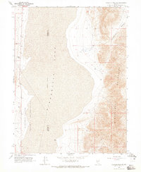
1964 · Tohakum Peak NE
USGS Topo · 1:24,000

1964 · Kumiva Peak
USGS Topo · 1:62,500

1981 · Twin Buttes Well
USGS Topo · 1:24,000
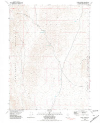
1981 · Tunnel Spring
USGS Topo · 1:24,000
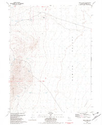
1981 · Betty Creek
USGS Topo · 1:24,000
1981 · Jayhawk Well
USGS Topo · 1:24,000