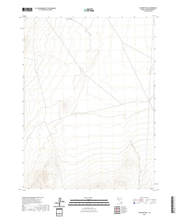
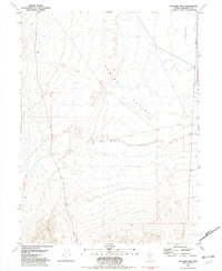
2021 Map of Jayhawk Well
USGS Topo · Published 2021About this map
Kumiva Valley dominates this arid landscape in Pershing County, Nevada, as it appeared in a 2021 study. The terrain is characterized by broad alluvial fans and the remote basins typical of the Great Basin, where the land is primarily divided by the Public Land Survey System grids of T29n R24e, T29n R25e, T28n R24e, and T28n R25e. This data, compiled from sources including the Bureau of Land Management and the National Hydrography Dataset, illustrates a sparse network of local roads and 4WD tracks that navigate the expansive valley floor. The map serves as a contemporary record of water resources and topography in a region where reliable springs and wells have historically been essential for survival and transit.
Find a feature on this map
5 named features on this map. Tap any name to fly to it.
Don’t see what you’re looking for? This feature index may not catch every label — zoom into the map to look around manually.
Map Details
Editions of this 2021 Jayhawk Well Map
This is the sole edition of this map. No revisions or reprints were ever made.
Other maps of this area

1886 · Granite Range
USGS Topo · 1:250,000

1894 · Granite Range
USGS Topo · 1:250,000

1955 · Lovelock
USGS Topo · 1:250,000

1959 · Lovelock
USGS Topo · 1:250,000
1964 · Tohakum Peak NE
USGS Topo · 1:24,000

1964 · Kumiva Peak
USGS Topo · 1:62,500

1981 · Twin Buttes Well
USGS Topo · 1:24,000
1981 · Tunnel Spring
USGS Topo · 1:24,000
1981 · Betty Creek
USGS Topo · 1:24,000
1981 · Jayhawk Well
USGS Topo · 1:24,000