
1969 Map of Jayton South
USGS Topo · Published 1972About this map
The town of Jayton serves as the focal point for this late 1960s West Texas survey, where the rolling plains meet the dramatic breaks of the Salt Fork Brazos River. This landscape is a hybrid of agricultural utility and oil-field infrastructure, evidenced by an extensive Aqueduct running west from the town and numerous water tanks scattered across the terrain. The transport history of Kent County is etched into the earth here, notably through the long-stretching Old Railroad Grade that cuts diagonally across the eastern half of the map, and the rural infrastructure supporting the Substa and local Gravel Pits. Water management is central to the area's layout, with Duck Creek, ABC Creek, and Carter Draw providing the primary drainage towards the river. Cultural landmarks such as Jayton Park, the Golf Course, and a Roadside Park along the highway reflect the community's established footprint during this era.
Find a feature on this map
18 named features on this map. Tap any name to fly to it.
Don’t see what you’re looking for? This feature index may not catch every label — zoom into the map to look around manually.
Map Details
Editions of this 1969 Jayton South Map
This is the sole edition of this map. No revisions or reprints were ever made.
Other maps of this area

1954 · Lubbock
USGS Topo · 1:250,000

1958 · Seven Diamond L Canyon
USGS Topo · 1:24,000

1958 · Jayton
USGS Topo · 1:24,000

1959 · Girard
USGS Topo · 1:24,000

1968 · Double Mountains
USGS Topo · 1:24,000

1968 · Peacock
USGS Topo · 1:24,000
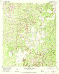
1969 · A B C Creek
USGS Topo · 1:24,000

1969 · Clairemont East
USGS Topo · 1:24,000
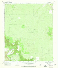
1969 · Gant Hills
USGS Topo · 1:24,000
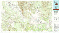
1985 · Aspermont
USGS Topo · 1:100,000