
1958 Map of Seven Diamond L Canyon
USGS Topo · Published 1959About this map
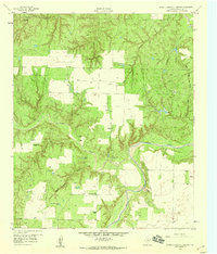
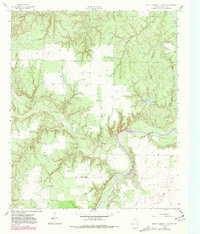
The Salt Fork Brazos River winds through this arid Stonewall County landscape, where water management is the defining feature of the local ranching economy. Cattle operations are evidenced by outpost settlements like North Camp, South Camp, and Ellis Pens, supported by an extensive network of named water sources and pumping infrastructure. Landmarks including Sherrod Windmill, Starcher Windmill, and Patterson Windmill are vital markers across the terrain, alongside smaller stock tanks such as Seven Diamond L Tank and York Tanks.
Find a feature on this map
23 named features on this map. Tap any name to fly to it.
Don’t see what you’re looking for? This feature index may not catch every label — zoom into the map to look around manually.
Map Details
Editions of this 1958 Seven Diamond L Canyon Map
Other maps of this area

1954 · Lubbock
USGS Topo · 1:250,000

1958 · Pursley House
USGS Topo · 1:24,000

1958 · Southerland Canyon
USGS Topo · 1:24,000

1958 · Lovers Resort
USGS Topo · 1:24,000

1958 · Jayton
USGS Topo · 1:24,000

1959 · Bob Creek
USGS Topo · 1:24,000

1968 · Peacock
USGS Topo · 1:24,000
1968 · Swenson
USGS Topo · 1:24,000

1969 · Jayton South
USGS Topo · 1:24,000
1985 · Aspermont
USGS Topo · 1:100,000