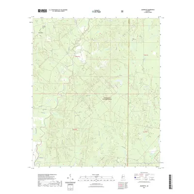
2021 Map of Jeannette
USGS Topo · Published 2021About this map
Homochitto National Forest encompasses much of this landscape in eastern Adams County, where the terrain is defined by a dense network of tributaries and bayous. The settlement of Jeannette sits in the northwest corner, near the Natchez Coravel Pits, while the rest of the quadrangle is largely defined by rural road networks and timberland. Waterways like Sandy Creek, Pellucid Bayou, and Odum Bayou carve through the forested hills, creating a complex drainage system that feeds into Pipe Lake at the southern boundary.
Find a feature on this map
48 named features on this map. Tap any name to fly to it.
Don’t see what you’re looking for? This feature index may not catch every label — zoom into the map to look around manually.
Map Details
Editions of this 2021 Jeannette Map
This is the sole edition of this map. No revisions or reprints were ever made.
Other maps of this area

1921 · Natchez
USGS Topo · 1:48,000

1922 · Natchez
USGS Topo · 1:62,500

1939 · Natchez
USGS Topo · 1:62,500

1939 · Kingston
USGS Topo · 1:62,500

1953 · Natchez
USGS Topo · 1:250,000

1956 · Natchez
USGS Topo · 1:250,000

1958 · Kingston
USGS Topo · 1:62,500

1959 · Natchez
USGS Topo · 1:250,000

1961 · Crosby
USGS Topo · 1:62,500

1962 · Fayette
USGS Topo · 1:62,500