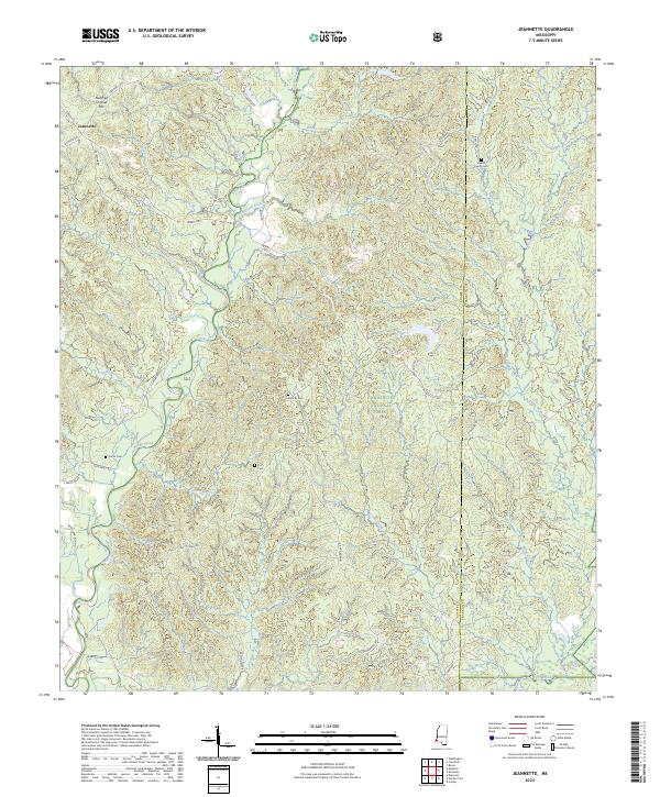
2024 Map of Jeannette
USGS Topo · Published 2024About this map
Homochitto National Forest occupies a significant portion of the landscape in this Mississippi survey, where dense woodlands are intersected by a complex network of waterways. The settlement of Jeannette is positioned in the northwest, serving as a focal point for local roads like Jeannette Rd and S Palestine Rd. Genealogists will find notable value in several family burial grounds scattered across the terrain, including the Beach Family Cem to the northeast and the Carter Cem further west.
Find a feature on this map
46 named features on this map. Tap any name to fly to it.
Don’t see what you’re looking for? This feature index may not catch every label — zoom into the map to look around manually.
Map Details
Editions of this 2024 Jeannette Map
This is the sole edition of this map. No revisions or reprints were ever made.
Other maps of this area

1921 · Natchez
USGS Topo · 1:48,000

1922 · Natchez
USGS Topo · 1:62,500

1939 · Natchez
USGS Topo · 1:62,500

1939 · Kingston
USGS Topo · 1:62,500

1953 · Natchez
USGS Topo · 1:250,000

1956 · Natchez
USGS Topo · 1:250,000

1958 · Kingston
USGS Topo · 1:62,500

1959 · Natchez
USGS Topo · 1:250,000

1961 · Crosby
USGS Topo · 1:62,500

1962 · Fayette
USGS Topo · 1:62,500