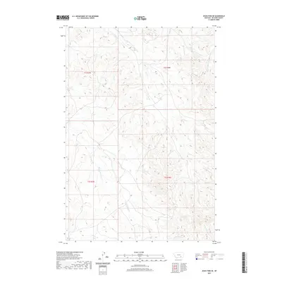
2020 Map of Jeans Fork NE
USGS Topo · Published 2020About this map
Sarpy Cr and its numerous tributaries dominate the landscape of Big Horn County in this contemporary topographic record. The map details a complex drainage network that includes the Middle Fork Sarpy Cr and the E Fork Sarpy Cr, illustrating the hydrological patterns of the northern High Plains. This territory is defined by the sharp divide between watersheds, with the southern reaches of the quadrangle draining into the E Fork Tullock Cr and Little Hawk Cr. The absence of named settlements or major infrastructure highlights the open, rural character of the Big Horn region, where the land is primarily organized by the Public Land Survey System as shown by the townships t1s r37e, t1s r38e, t2s r37e, and t2s r38e.
Find a feature on this map
9 named features on this map. Tap any name to fly to it.
Don’t see what you’re looking for? This feature index may not catch every label — zoom into the map to look around manually.
Map Details
Editions of this 2020 Jeans Fork NE Map
This is the sole edition of this map. No revisions or reprints were ever made.
Other maps of this area

1954 · Hardin
USGS Topo · 1:250,000

1957 · Hardin
USGS Topo · 1:250,000

1958 · Hardin
USGS Topo · 1:250,000

1958 · Chalky Point
USGS Topo · 1:24,000

1958 · Busby
USGS Topo · 1:24,000

1967 · Jeans Fork NW
USGS Topo · 1:24,000

1967 · Jeans Fork NE
USGS Topo · 1:24,000
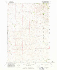
1967 · Jeans Fork SE
USGS Topo · 1:24,000
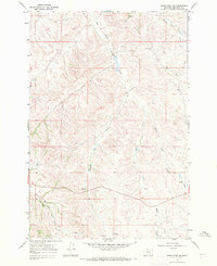
1967 · Jeans Fork SW
USGS Topo · 1:24,000
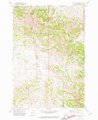
1971 · Sarpy School
USGS Topo · 1:24,000