
1967 Map of Jeans Fork NE
USGS Topo · Published 1970About this map
The Northern Cheyenne Indian Reservation Boundary defines the eastern portion of this Big Horn County landscape, where the high plains of Montana meet a complex system of drainage forks. Water sources dominate the geography of the late 1960s, notably Sarpy Creek and the East Fork Sarpy Creek to the east, while Jeans Fork and the East Fork Tullock Creek carve through the western terrain. The map records a series of unnamed Spring locations that were vital to ranching and local settlement in this semi-arid region. This survey captures the land before extensive modern development, preserving the exact placement of reservation lines and natural water features that have shaped land use and tribal history in the area.
Find a feature on this map
7 named features on this map. Tap any name to fly to it.
Don’t see what you’re looking for? This feature index may not catch every label — zoom into the map to look around manually.
Map Details
Editions of this 1967 Jeans Fork NE Map
This is the sole edition of this map. No revisions or reprints were ever made.
Other maps of this area

1954 · Hardin
USGS Topo · 1:250,000

1957 · Hardin
USGS Topo · 1:250,000

1958 · Hardin
USGS Topo · 1:250,000

1958 · Chalky Point
USGS Topo · 1:24,000

1958 · Busby
USGS Topo · 1:24,000

1967 · Jeans Fork NW
USGS Topo · 1:24,000
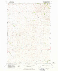
1967 · Jeans Fork SE
USGS Topo · 1:24,000
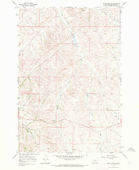
1967 · Jeans Fork SW
USGS Topo · 1:24,000
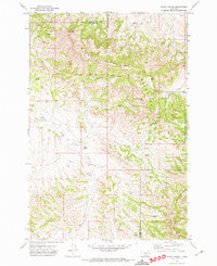
1971 · Sarpy School
USGS Topo · 1:24,000
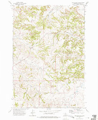
1972 · Iron Spring SW
USGS Topo · 1:24,000