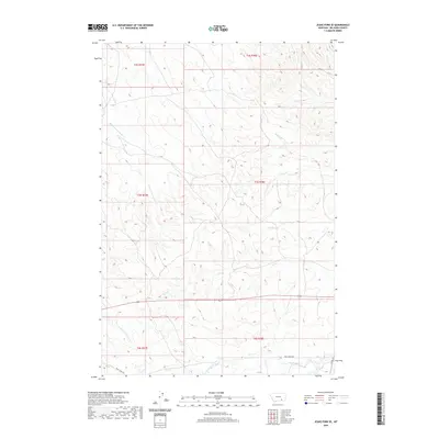
2020 Map of Jeans Fork SE
USGS Topo · Published 2020About this map
Middle Fork Tullock Cr and W Fork Tullock Cr define the western drainage of this Montana landscape within the Busby District. This modern USGS topographic survey documents the intricate network of seasonal watercourses and ridges, including the appropriately named Teeth Cr and Deafy Cr which flow eastward toward the Tongue River basin. The map reveals a high-elevation terrain etched by deep coulees, where human presence is largely limited to the township and range boundaries of the Public Land Survey System. Transportation is concentrated in the southern sections along Reno Creek Rd and Co Rd 314, which provide access to the headwaters of N Fork Davis Cr. This 2020 record serves as a precise baseline for the current geography of Big Horn County, capturing the watershed details of Ash Cr and Dry Fork in the period before significant topographical changes.
Find a feature on this map
16 named features on this map. Tap any name to fly to it.
Don’t see what you’re looking for? This feature index may not catch every label — zoom into the map to look around manually.
Map Details
Editions of this 2020 Jeans Fork SE Map
This is the sole edition of this map. No revisions or reprints were ever made.
Other maps of this area

1894 · Rosebud
USGS Topo · 1:125,000

1901 · Rosebud
USGS Topo · 1:125,000

1954 · Hardin
USGS Topo · 1:250,000

1957 · Hardin
USGS Topo · 1:250,000

1958 · Hardin
USGS Topo · 1:250,000

1958 · Chalky Point
USGS Topo · 1:24,000

1958 · Busby
USGS Topo · 1:24,000

1958 · Birdseye Spring
USGS Topo · 1:24,000

1967 · Jeans Fork NW
USGS Topo · 1:24,000

1967 · Jeans Fork NE
USGS Topo · 1:24,000