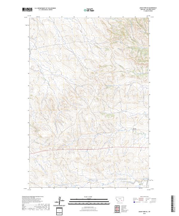
2024 Map of Jeans Fork SE
USGS Topo · Published 2024About this map
Busby anchors this portion of Big Horn County, where the high plains landscape is defined by an intricate network of seasonal drainage and creek forks. The drainage patterns of the Middle Fork Tullock Creek and West Fork Tullock Creek illustrate the natural erosion of the Northern Cheyenne Indian Reservation area, revealing how the local topography dictated the placement of early routes. To the south, Reno Creek Rd follows the valley floor along the North Fork Davis Creek, a vital corridor for local transit across the rangeland. Other notable watercourses such as Deafy Creek and Ash Creek slice through the high ground, creating a landscape that remains primarily defined by its hydrography and the limited road infrastructure of Co Rd 314.
Find a feature on this map
18 named features on this map. Tap any name to fly to it.
Don’t see what you’re looking for? This feature index may not catch every label — zoom into the map to look around manually.
Map Details
Editions of this 2024 Jeans Fork SE Map
This is the sole edition of this map. No revisions or reprints were ever made.
Other maps of this area

1894 · Rosebud
USGS Topo · 1:125,000

1901 · Rosebud
USGS Topo · 1:125,000

1954 · Hardin
USGS Topo · 1:250,000

1957 · Hardin
USGS Topo · 1:250,000

1958 · Hardin
USGS Topo · 1:250,000

1958 · Chalky Point
USGS Topo · 1:24,000

1958 · Busby
USGS Topo · 1:24,000

1958 · Birdseye Spring
USGS Topo · 1:24,000

1967 · Jeans Fork NW
USGS Topo · 1:24,000

1967 · Jeans Fork NE
USGS Topo · 1:24,000