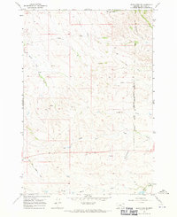
1967 Map of Jeans Fork SE
USGS Topo · Published 1971About this map
The Northern Cheyenne Indian Reservation Boundary runs through this section of Big Horn County, Montana, providing a stark geographic divide across the drainage basins of the Tullock Creek system. During the late 1960s, this landscape was defined by its water sources, with numerous labeled Springs and isolated Wells supporting ranching or transit through the undulating terrain. The drainage network is particularly detailed here, featuring the Teeth Creek, Deafy Creek, and Ash Creek tributaries that feed into the larger forks.
Find a feature on this map
16 named features on this map. Tap any name to fly to it.
Don’t see what you’re looking for? This feature index may not catch every label — zoom into the map to look around manually.
Map Details
Editions of this 1967 Jeans Fork SE Map
This is the sole edition of this map. No revisions or reprints were ever made.
Other maps of this area

1894 · Rosebud
USGS Topo · 1:125,000

1901 · Rosebud
USGS Topo · 1:125,000

1954 · Hardin
USGS Topo · 1:250,000

1957 · Hardin
USGS Topo · 1:250,000

1958 · Hardin
USGS Topo · 1:250,000

1958 · Chalky Point
USGS Topo · 1:24,000

1958 · Busby
USGS Topo · 1:24,000

1958 · Birdseye Spring
USGS Topo · 1:24,000

1967 · Jeans Fork NW
USGS Topo · 1:24,000

1967 · Jeans Fork NE
USGS Topo · 1:24,000