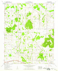
1958 Map of Jeff
USGS Topo · Published 1959About this map
Burwell Mtn and Drake Mountain rise above the agricultural plains north of Huntsville in this late 1950s survey. The landscape is a network of rural communities such as Harvest, Cluttsville, and Old Monrovia, interspersed with numerous family cemeteries like Fearn Cem, Nance Cem, and Pettus Cem. These markers of early settlement are tied together by historic transit routes, including the Old Railroad Bed Road and Pulaski Pike.
Find a feature on this map
69 named features on this map. Tap any name to fly to it.
Don’t see what you’re looking for? This feature index may not catch every label — zoom into the map to look around manually.
Map Details
Editions of this 1958 Jeff Map
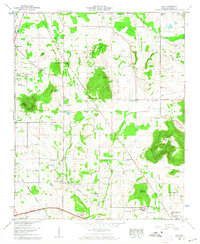
2 editions found
Other maps of this area

1888 · Huntsville
USGS Topo · 1:125,000

1892 · Huntsville
USGS Topo · 1:125,000

1936 · Jeff
USGS Topo · 1:24,000

1936 · Capshaw
USGS Topo · 1:24,000

1936 · Madison
USGS Topo · 1:24,000

1936 · Meridianville
USGS Topo · 1:24,000

1936 · Fisk
USGS Topo · 1:24,000

1936 · Ardmore
USGS Topo · 1:24,000

1936 · Toney
USGS Topo · 1:24,000

1936 · Greenbrier
USGS Topo · 1:24,000