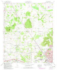
1967 Map of Jeff
USGS Topo · Published 1982About this map
Quarter Mountain and Burwell Mountain rise above the agricultural and residential landscape of Madison County during this late-1960s survey. The map documents the rapid expansion of the Huntsville corporate boundary as it encroaches upon historically rural areas like Old Monrovia and Cluttsville. Modern infrastructure such as the Lee Highway and residential developments like Western Hills Estates sit alongside an old railroad bed, marking the transition from a rail-dependent rural economy to a modern suburban network. Education and community life are anchored by Oakwood College and Sparkman High Sch, while numerous family cemeteries including Mc Lemore Cem and Hereford Cem provide deep genealogical ties to the region's early settlers. The drainage of Indian Creek and its various springs, such as Denton Spring, continue to shape the local topography.
Find a feature on this map
121 named features on this map. Tap any name to fly to it.
Don’t see what you’re looking for? This feature index may not catch every label — zoom into the map to look around manually.
Map Details
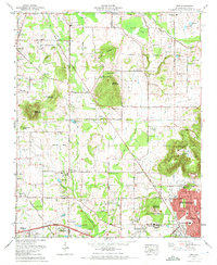
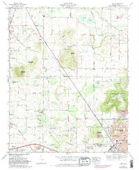
Editions of this 1967 Jeff Map
3 editions found
Other maps of this area

1888 · Huntsville
USGS Topo · 1:125,000

1892 · Huntsville
USGS Topo · 1:125,000

1936 · Jeff
USGS Topo · 1:24,000

1936 · Capshaw
USGS Topo · 1:24,000

1936 · Madison
USGS Topo · 1:24,000

1936 · Meridianville
USGS Topo · 1:24,000

1936 · Fisk
USGS Topo · 1:24,000

1936 · Ardmore
USGS Topo · 1:24,000

1936 · Toney
USGS Topo · 1:24,000

1936 · Greenbrier
USGS Topo · 1:24,000