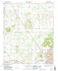
1967 Map of Jeff
USGS Topo · Published 1982About this map
The agricultural and residential expansion of northwest Huntsville and the Madison area are captured during this late 1960s survey. Topographical highlights include the prominent Capshaw Mountain, Quarter Mountain, and Burwell Mountain, which overlook a landscape transitioning from rural farmsteads to suburban developments like Western Hills Estates and Rainbow Mountain Heights. The presence of Old Railroad Bed Road and the Herman Nelson Highway provides a clear view of the transportation corridors that shaped the growth of communities like Harvest, Jeff, and Monrovia.
Find a feature on this map
109 named features on this map. Tap any name to fly to it.
Don’t see what you’re looking for? This feature index may not catch every label — zoom into the map to look around manually.
Map Details
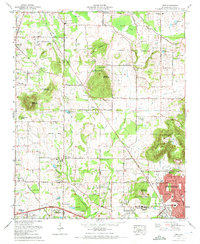
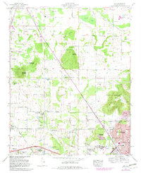
Editions of this 1967 Jeff Map
3 editions found
Other maps of this area

1888 · Huntsville
USGS Topo · 1:125,000

1892 · Huntsville
USGS Topo · 1:125,000

1936 · Jeff
USGS Topo · 1:24,000

1936 · Capshaw
USGS Topo · 1:24,000

1936 · Madison
USGS Topo · 1:24,000

1936 · Meridianville
USGS Topo · 1:24,000

1936 · Fisk
USGS Topo · 1:24,000

1936 · Ardmore
USGS Topo · 1:24,000

1936 · Toney
USGS Topo · 1:24,000

1936 · Greenbrier
USGS Topo · 1:24,000