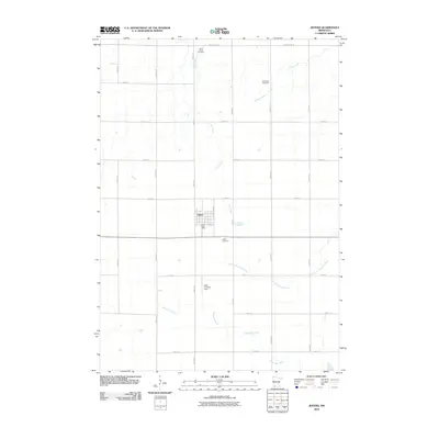
2010 Map of Jeffers
USGS Topo · Published 2010About this map
Jeffers occupies a central position in this survey of southwestern Minnesota, surrounded by a landscape structured by the precise grid of county roads and section lines. The town’s social and agricultural infrastructure is evidenced by the Jeffers Post Office and nearby Jeffers Cemetery, reflecting a well-established rural community. This area is a drainage divide for several significant waterways, including the Watonwan River and the Little Cottonwood River, which flow across the prairie alongside smaller tributaries like Dry Creek and Mound Creek.
Find a feature on this map
26 named features on this map. Tap any name to fly to it.
Don’t see what you’re looking for? This feature index may not catch every label — zoom into the map to look around manually.
Map Details
Editions of this 2010 Jeffers Map
This is the sole edition of this map. No revisions or reprints were ever made.
Other maps of this area

1953 · New Ulm
USGS Topo · 1:250,000

1954 · Fairmont
USGS Topo · 1:250,000

1957 · New Ulm
USGS Topo · 1:250,000

1958 · New Ulm
USGS Topo · 1:250,000

1958 · Fairmont
USGS Topo · 1:250,000

1967 · New Ulm
USGS Topo · 1:250,000

1967 · Sanborn
USGS Topo · 1:24,000

1967 · Sanborn SE
USGS Topo · 1:24,000

1967 · Sanborn NE
USGS Topo · 1:24,000

1967 · Storden
USGS Topo · 1:24,000