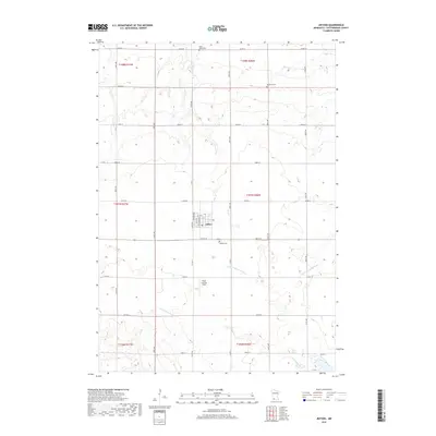
2019 Map of Jeffers
USGS Topo · Published 2019About this map
Jeffers serves as the central hub of this agricultural landscape in Cottonwood County, where a grid of rural roads connects the town to its outlying farmsteads and cemeteries. The terrain is defined by the drainage patterns of the Little Cottonwood River and the Watonwan River, which wind through the township boundaries of T107N R36W and T107N R37W. These waterways, along with smaller tributaries like Mound Cr and Dry Cr, provide the primary natural relief in an otherwise strictly surveyed section-line landscape. Local history is anchored by sites such as the Saint Johns Cem in the north and the Jeffers Cem just south of the main settlement. The presence of the Ewen Landing Field reflects the intersection of traditional prairie farming with modern aviation needs in this corner of southwestern Minnesota.
Find a feature on this map
26 named features on this map. Tap any name to fly to it.
Don’t see what you’re looking for? This feature index may not catch every label — zoom into the map to look around manually.
Map Details
Editions of this 2019 Jeffers Map
This is the sole edition of this map. No revisions or reprints were ever made.
Other maps of this area

1953 · New Ulm
USGS Topo · 1:250,000

1954 · Fairmont
USGS Topo · 1:250,000

1957 · New Ulm
USGS Topo · 1:250,000

1958 · New Ulm
USGS Topo · 1:250,000

1958 · Fairmont
USGS Topo · 1:250,000

1967 · New Ulm
USGS Topo · 1:250,000

1967 · Sanborn
USGS Topo · 1:24,000

1967 · Sanborn SE
USGS Topo · 1:24,000

1967 · Sanborn NE
USGS Topo · 1:24,000

1967 · Storden
USGS Topo · 1:24,000