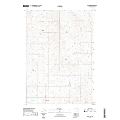
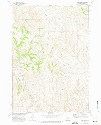
2018 Map of Jeffers Draw
USGS Topo · Published 2018About this map
Montgomery Draw and Jeffers Draw define the drainage patterns of this Campbell County landscape, where the high point of Kinney Divide separates seasonal water systems. The map details a complex network of draws and creeks, including Wild Horse Cr and Kingsbury Cr, which feed into local catchments like the Boyken Number 2 Reservoir. This terrain is characteristic of the Wyoming high plains, showing how water management and topography dictate the layout of rural access routes like Echeta Rd and Montgomery Rd. Significant local landmarks such as Crenshaw Hill provide vertical orientation in a region dominated by rolling draws and ephemeral stream beds, including Amos Draw and Sand Draw.
Find a feature on this map
25 named features on this map. Tap any name to fly to it.
Don’t see what you’re looking for? This feature index may not catch every label — zoom into the map to look around manually.
Map Details
Editions of this 2018 Jeffers Draw Map
This is the sole edition of this map. No revisions or reprints were ever made.
Other maps of this area

1954 · Gillette
USGS Topo · 1:250,000

1955 · Gillette
USGS Topo · 1:250,000

1958 · Gillette
USGS Topo · 1:250,000

1962 · Gillette
USGS Topo · 1:250,000
1971 · Scott Dam
USGS Topo · 1:24,000

1971 · Oriva NW
USGS Topo · 1:24,000

1971 · Oriva
USGS Topo · 1:24,000
1971 · Four Bar J Ranch
USGS Topo · 1:24,000
1971 · Morgan Draw
USGS Topo · 1:24,000
1972 · Carr Draw
USGS Topo · 1:24,000