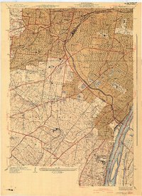
1941 Map of Jefferson Barracks
USGS Topo · Published 1941About this map
Jefferson Barracks anchors the southern landscape of this 1941 survey, overlooking the Mississippi River and Sugar Loaf Bottoms. The area transitions from the dense urban grid of St Louis into a complex network of mid-century suburban settlements including Webster Groves Sta, Shrewsbury, and Affton. The map documents a significant concentration of institutional landmarks, from the expansive National Cemetery and Saints Peter and Paul Cemetery to academic and religious centers like Webster College, Eden Seminary, and the St Louis Preparatory Seminary.
Find a feature on this map
87 named features on this map. Tap any name to fly to it.
Don’t see what you’re looking for? This feature index may not catch every label — zoom into the map to look around manually.
Map Details
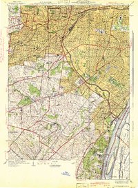
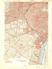
Editions of this 1941 Jefferson Barracks Map
3 editions found
Other maps of this area

1888 · St. Louis
USGS Topo · 1:62,500

1910 · Waterloo
USGS Topo · 1:62,500

1912 · Kimmswick
USGS Topo · 1:62,500

1913 · Waterloo
USGS Topo · 1:62,500

1916 · Kimmswick
USGS Topo · 1:62,500

1933 · Creve Coeur
USGS Topo · 1:24,000

1933 · Granite City
USGS Topo · 1:24,000

1933 · Jefferson Barracks
USGS Topo · 1:24,000

1933 · Cahokia
USGS Topo · 1:24,000

1933 · Clayton
USGS Topo · 1:24,000