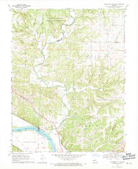
1969 Map of Jefferson City NW
USGS Topo · Published 1971About this map
The University of Missouri Ashland Wildlife Research Area dominates the northern reaches of this Missouri landscape, where the meandering Cedar Creek forms the natural boundary between Boone and Callaway counties. To the south, the industrial and agricultural character of the region is evident near the Missouri River, where the State Prison Farm sits just across the water from the northern edges of Jefferson.
Find a feature on this map
37 named features on this map. Tap any name to fly to it.
Don’t see what you’re looking for? This feature index may not catch every label — zoom into the map to look around manually.
Map Details
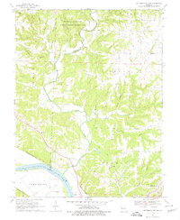
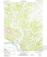
Editions of this 1969 Jefferson City NW Map
3 editions found
Other maps of this area

1886 · Jefferson City
USGS Topo · 1:125,000

1894 · Jefferson City
USGS Topo · 1:125,000

1939 · Jefferson City
USGS Topo · 1:24,000

1939 · Jefferson City
USGS Topo · 1:62,500

1942 · Jefferson City
USGS Topo · 1:62,500

1944 · Millersburg
USGS Topo · 1:62,500

1946 · Millersburg
USGS Topo · 1:62,500

1947 · Jefferson City
USGS Topo · 1:250,000

1948 · Centertown
USGS Topo · 1:62,500

1948 · Columbia
USGS Topo · 1:62,500