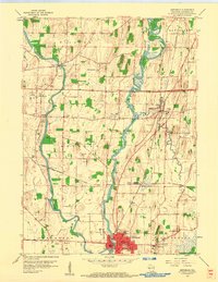
1959 Map of Jefferson
USGS Topo · Published 1961About this map
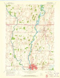
The confluence of the Crawfish River and Rock River dominates this mid-century portrait of southern Wisconsin, where the city of Jefferson serves as a vital hub of transport and industry. The landscape is defined by its deep historical roots, particularly at Aztalan State Park, which preserves ancient Indian Mounds along the western riverbank. The survey captures a moment when the Chicago and North Western railroad remained central to local movement, connecting the city to Jefferson Junction and north to Johnson Creek.
Find a feature on this map
49 named features on this map. Tap any name to fly to it.
Don’t see what you’re looking for? This feature index may not catch every label — zoom into the map to look around manually.
Map Details
Editions of this 1959 Jefferson Map
2 editions found
Other maps of this area

1891 · Waterloo
USGS Topo · 1:62,500

1891 · Koshkonong
USGS Topo · 1:62,500

1892 · Watertown
USGS Topo · 1:62,500

1892 · Whitewater
USGS Topo · 1:62,500

1893 · Whitewater
USGS Topo · 1:62,500

1894 · Waterloo
USGS Topo · 1:62,500

1894 · Watertown
USGS Topo · 1:62,500

1894 · Koshkonong
USGS Topo · 1:62,500

1903 · Whitewater
USGS Topo · 1:62,500

1906 · Koshkonong
USGS Topo · 1:62,500