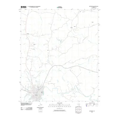
2010 Map of Jefferson
USGS Topo · Published 2010About this map
Big Cypress Bayou and Black Cypress Bayou converge in the southern portion of this landscape, framing the established town of Jefferson. The town’s significant heritage is anchored by the Jefferson Historic District and several burial grounds, including Oakwood Cemetery and Mount Sinai Cemetery. This area reflects a long-standing settlement pattern in East Texas, where river navigation and overland roads meet.
Find a feature on this map
38 named features on this map. Tap any name to fly to it.
Don’t see what you’re looking for? This feature index may not catch every label — zoom into the map to look around manually.
Map Details
Editions of this 2010 Jefferson Map
This is the sole edition of this map. No revisions or reprints were ever made.
Other maps of this area

1944 · Kildare
USGS Topo · 1:62,500

1944 · Caddo Lake
USGS Topo · 1:62,500

1946 · Caddo Lake
USGS Topo · 1:62,500

1948 · Kildare
USGS Topo · 1:62,500

1956 · Tyler
USGS Topo · 1:250,000

1961 · Cunningham Creek
USGS Topo · 1:24,000

1962 · Kellyville
USGS Topo · 1:24,000

1962 · Lanier
USGS Topo · 1:24,000

1962 · Marshall NW
USGS Topo · 1:24,000

1962 · Woodlawn
USGS Topo · 1:24,000