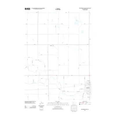
2013 Map of Jefferson West
USGS Topo · Published 2013About this map
The North Raccoon River carves a winding path through this West Iowa landscape, defining the topography south of the small settlement of Farlin. The eastern edge of the map captures the residential and commercial expansion of Jefferson, where local landmarks like the Mahanay Bell Tower stand as central points of the community's skyline. The terrain is a blend of natural waterways and managed agricultural land, evidenced by the presence of Goose Lake and Drainage Ditch 171, which reflect the region's efforts to balance its wetland heritage with farming needs. Further south, the Eureka Bridge provides a key crossing over the river, anchoring the rural road network that connects these Greene County townships. The map illustrates a clear transition from the structured grid of city streets like West Lincolnway Street to the expansive section lines that dominate the outskirts of the county seat.
Find a feature on this map
57 named features on this map. Tap any name to fly to it.
Don’t see what you’re looking for? This feature index may not catch every label — zoom into the map to look around manually.
Map Details
Editions of this 2013 Jefferson West Map
This is the sole edition of this map. No revisions or reprints were ever made.
Other maps of this area

1954 · Bagley
USGS Topo · 1:62,500

1954 · Omaha
USGS Topo · 1:250,000

1954 · Fort Dodge
USGS Topo · 1:250,000

1957 · Omaha
USGS Topo · 1:250,000

1957 · Fort Dodge
USGS Topo · 1:250,000

1958 · Omaha
USGS Topo · 1:250,000

1958 · Fort Dodge
USGS Topo · 1:250,000

1962 · Jefferson
USGS Topo · 1:62,500

1971 · Coon Rapids NE
USGS Topo · 1:24,000

1980 · Wightman
USGS Topo · 1:24,000