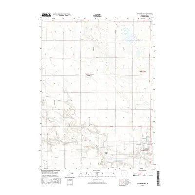
2015 Map of Jefferson West
USGS Topo · Published 2015About this map
The North Raccoon River winds through this Greene County landscape, defining the topography south of the town of Jefferson. This 2015 survey reveals a classic Midwestern section-line grid, where rural life is anchored by family and community landmarks like Eureka Bridge and several burial grounds including Golgotha Cem, Fair Oaks Cem, and Wright Cem. The small settlement of Farlin sits near the center of the sheet, surrounded by agricultural fields and drainage networks like Drainage Ditch 171. To the north, the terrain softens around Goose Lake and the various branches of Hardin Cr. The map provides a look at the western reaches of Jefferson, showing a detailed street plan from W Lincolnway St down to W Russell St, documenting the town's expansion and its relationship with the river valley.
Find a feature on this map
71 named features on this map. Tap any name to fly to it.
Don’t see what you’re looking for? This feature index may not catch every label — zoom into the map to look around manually.
Map Details
Editions of this 2015 Jefferson West Map
This is the sole edition of this map. No revisions or reprints were ever made.
Other maps of this area

1954 · Bagley
USGS Topo · 1:62,500

1954 · Omaha
USGS Topo · 1:250,000

1954 · Fort Dodge
USGS Topo · 1:250,000

1957 · Omaha
USGS Topo · 1:250,000

1957 · Fort Dodge
USGS Topo · 1:250,000

1958 · Omaha
USGS Topo · 1:250,000

1958 · Fort Dodge
USGS Topo · 1:250,000

1962 · Jefferson
USGS Topo · 1:62,500

1971 · Coon Rapids NE
USGS Topo · 1:24,000

1980 · Wightman
USGS Topo · 1:24,000