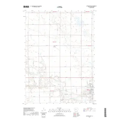
2018 Map of Jefferson West
USGS Topo · Published 2018About this map
The North Raccoon River winds through the heart of Greene County, carving a distinctive valley that breaks the uniform agricultural grid of Grant Township. Along this riparian corridor, historical landmarks such as Eureka Bridge and family-linked burial grounds like Wright Cem and Fair Oaks Cem offer clear points of interest for local historians and genealogists. The landscape transition is sharp, moving from the concentrated residential blocks of western Jefferson and the small settlement of Farlin into an expansive network of rural section roads and engineered waterways like Drainage Ditch 171. Further north, the confluence of Hardin Cr and E Fork Hardin Cr defines the drainage patterns of the upper prairie, while cemeteries such as Headly Cem and Golgotha Cem remain as quiet markers of the area's early settlement clusters.
Find a feature on this map
49 named features on this map. Tap any name to fly to it.
Don’t see what you’re looking for? This feature index may not catch every label — zoom into the map to look around manually.
Map Details
Editions of this 2018 Jefferson West Map
This is the sole edition of this map. No revisions or reprints were ever made.
Other maps of this area

1954 · Bagley
USGS Topo · 1:62,500

1954 · Omaha
USGS Topo · 1:250,000

1954 · Fort Dodge
USGS Topo · 1:250,000

1957 · Omaha
USGS Topo · 1:250,000

1957 · Fort Dodge
USGS Topo · 1:250,000

1958 · Omaha
USGS Topo · 1:250,000

1958 · Fort Dodge
USGS Topo · 1:250,000

1962 · Jefferson
USGS Topo · 1:62,500

1971 · Coon Rapids NE
USGS Topo · 1:24,000

1980 · Wightman
USGS Topo · 1:24,000