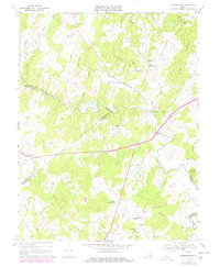
1966 Map of Jeffersonton
USGS Topo · Published 1978About this map
The Rappahannock River serves as the central geographic anchor for this Piedmont landscape, forming the winding border between Fauquier, Culpeper, and Rappahannock counties. In the late 1960s, this region maintained its rural character, defined by scattered agricultural crossroads like Orlean, Palmers Crossroads, and Amissville. The map captures a transition toward modern recreation and infrastructure, with the Fauquier Springs Country Club and a Golf Course situated near the riverbanks, while a prominent Pipeline and a local Landing Strip appear amidst the established creek systems of Thumb Run and Carter Run.
Find a feature on this map
39 named features on this map. Tap any name to fly to it.
Don’t see what you’re looking for? This feature index may not catch every label — zoom into the map to look around manually.
Map Details
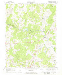
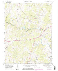
Editions of this 1966 Jeffersonton Map
3 editions found
Other maps of this area

1893 · Luray
USGS Topo · 1:125,000

1894 · Warrenton
USGS Topo · 1:125,000

1894 · Warrenton
USGS Topo · 1:62,500

1905 · Luray
USGS Topo · 1:125,000

1927 · Remington
USGS Topo · 1:48,000

1930 · Warrenton
USGS Topo · 1:62,500

1939 · Front Royal
USGS Topo · 1:48,000

1943 · Orlean
USGS Topo · 1:24,000

1943 · Marshall
USGS Topo · 1:24,000
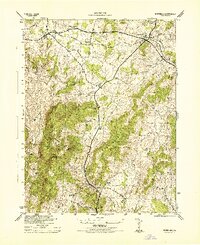
1944 · Marshall
USGS Topo · 1:31,680